How to drive the steep A-4030 Road to Alto de Hazallanas in Andalusia?
Alto de Hazallanas is a high mountain pass at an elevation of 1,994m (6,541ft) above sea level, located in the province of Granada, Spain. The climb includes gradients in double figures for long stretches, and the inside of the hairpins regularly exceeds 20%.
| Road facts: Alto de Hazallanas | |
|---|---|
| Location | Granada, Andalusia (Spain) |
| Elevation | 1,994 m (6,541 ft) |
| Road Name | A-4030 |
| Length | 4.9 km |
Where is Alto de Hazallanas?
The pass, also known as Alto Haza Llana, is located in the autonomous community of Andalusia, in the southern part of the country.
How challenging is the road to Alto de Hazallanas?
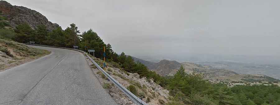
The road to the summit is called A-4030. It is fully paved though it is an extremely challenging mountain road. Right at the start, a yellow sign warns you exactly what to expect: 'ATENCIÓN: CARRETERA DE MONTAÑA MUY PELIGROSA' ('ATTENTION: VERY DANGEROUS MOUNTAIN ROAD'). This sign gives you the raw facts before the climbs begin. It sets clear limits: no vehicles wider than 2.5 meters or heavier than 5 tons. Seeing this means the tarmac ahead will shrink quickly into a narrow, twisting track. Large motorhomes and trucks cannot pass because the road lacks the space and the strength to hold them. Expect tight bottlenecks, 15 hairpin turns, blind corners, and steep drops where passing another car means pushing your wheels to the very edge of the asphalt.
How long is the road to Alto de Hazallanas?
Starting from Güéjar Sierra, the road to the summit is 4.9km long. Over this distance, the average gradient is 12%, hitting a 22% maximum gradient on some of the ramps. Expect little traffic throughout the climb. The route has been featured as a stage finish in the Vuelta a España bicycle race.
Is the road to Alto de Hazallanas open year-round?
Set high in the Sierra Nevada National Park, the road is open year-round, but short-term closures are common during winter due to snow accumulations.