Cabeza de Manzaneda
Cabeza de Manzaneda is a high mountain peak at an elevation of 1.751m (5,744ft) above the sea level, located in eastern province of Ourense in the Galicia region of north-west Spain.
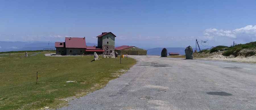
The road to the summit is asphalted and very steep, with sections up to 13.6%. At the summit there are several telecommunications antennas, a bar and a restaurant. The climb has been used in the Spanish Vuelta a España race. There are 3 routes to reach the summit. Starting from P. Trives, the ascent is 29 km long. Over this distance, the elevation gain is 1481 meters. The average percentage is 5.1 %. Starting from Manzaneda, the ascent is 22 km long. Over this distance, the elevation gain is 1418 meters. The average percentage is 6.4 %. And starting from Puente Bibel, the ascent is 30.5 km long. Over this distance, the elevation gain is 1425 meters. The average percentage is 4.7 %.
Pic: Antonio Lopez