A paved road to Alto de la Pandera
Alto de la Pandera is a high mountain pass at an elevation of 1.840m (6,036ft) above the sea level, located in the province of Jaén in the autonomous community of Andalusia in south-central Spain.
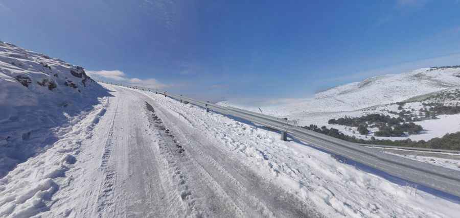
The road to the summit is asphalted, but a bit narrow and very steep. It has gradients of up to 24 percent in a section called El Chaparral. At the summit there’s a military base. The climb has been used in the Spanish Vuelta a España race.
There are 2 routes to reach the summit. Starting from Valdepeñas de Jaen, the ascent is 15 km long. Over this distance, the elevation gain is 931 meters. The average percentage is 6.2 %. And starting from Los Villares, the ascent is 24 km long. Over this distance, the elevation gain is 1.237 meters. The average percentage is 5.2 %.
Pic: Rafael Baena