How to drive the paved road to Puerto de Mosqueruela in Teruel
Puerto de Mosqueruela is a high mountain pass at an elevation of 1.512m (4,960ft) above sea level, located in the province of Teruel, in Spain.
Where is Puerto de Mosqueruela?
The pass, also known as Puerto de la Virgen de la estrella, is located in the autonomous community of Aragon. At the top of the pass stands the monument to the Virgin of the Star, patron saint of Mosqueruela. The pass is also known by this name, as the Virgin's image is prominently displayed at its summit.
Is Puerto de Mosqueruela paved?
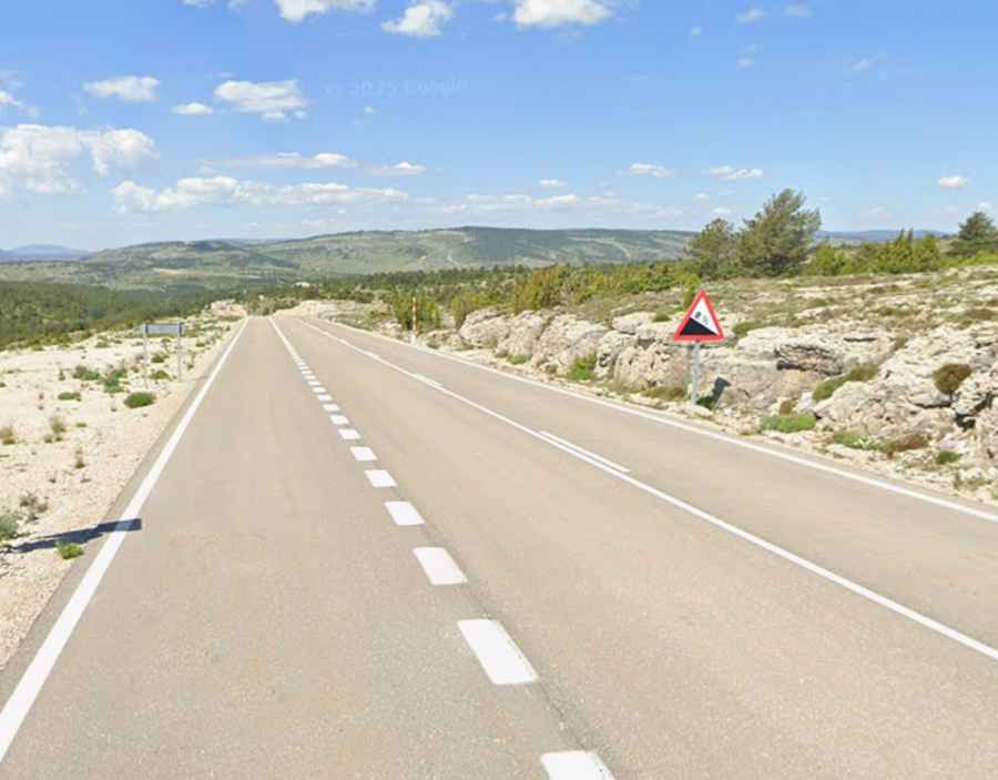
The road to the summit is fully paved, in very good conditions, after being improved in the 2020’s. It’s called A-1701.
How challenging is the drive through Puerto de Mosqueruela?
The road comprises gentle curves and many steep parts, hitting an 8% of maximum gradient through some of the ramps. The pass is perfect for including in a motorcycle or cycling route, offering sections of winding and steep inclines.
How long is the road through Puerto de Mosqueruela?
The road through the pass is 15.2km long, running west-east from Mosqueruela to the limit with the Valencian Community.