Driving the Thrilling Puerto del Ponton in Spain's Cantabrian Mountains
Puerto del Pontón is a mountain pass at an elevation of 1.298m (4,258ft) above sea level, located in the Province of León, in Spain.
Where is Puerto del Ponton?
The pass is located in the northwestern part of the autonomous community of Castile and León, in the northern part of the country.
How long is Puerto del Ponton?
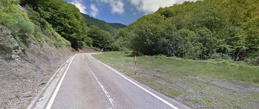
The road to the summit is totally paved. It’s called N625. The road is in good condition. The pass is 20.2 km (12.55 miles) long, running south-north from Vegacerneja to Oseja de Sajambre.
Is Puerto del Ponton difficult?
The road is steep, hitting a 9-10% of maximum gradient through some of the ramps Most of the ascent takes place in the Picos de Europa National Park. It has been climbed by the Spanish Vuelta race. The road is very curvy, with 4 hairpin turns.
Is Puerto del Ponton open?
Set high in the Cantabrian Mountains, access to the pass is typically open all year round but short term closures are common in winter due to dangerous weather conditions.