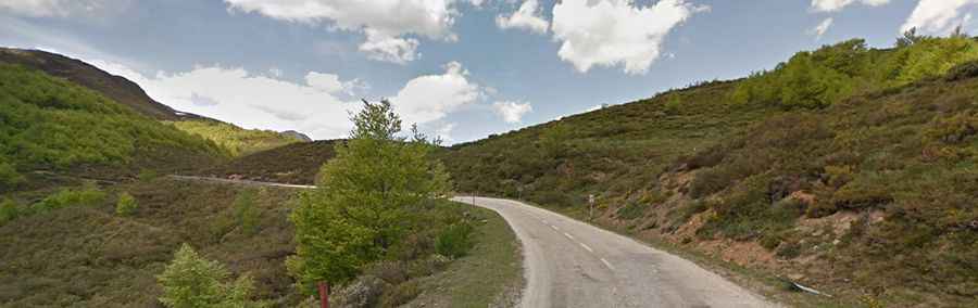
A curvy paved road to Puerto de Pandetrave in Leon
Puerto de Pandetrave is a high mountain pass at an elevation of 1,562m (5,124ft) above sea level, located in the province of León, in Spain.
Where is Puerto de Pandetrave?
The pass is located in the autonomous community of Castile and León, in the northern part of the country within the Picos de Europa Natural Park. At the summit there’s a small parking lot.
How long is Puerto de Pandetrave?
The road to the summit is totally paved, though not in the best condition. It’s called LE-2703. The pass road is 20.2 km (12.55 miles) long, running north-south from Posada de Valdeón to Portilla de la Reina.
How steep is Puerto de Pandetrave?
The road to the summit is pretty steep, hitting an 11.8% gradient through some of the ramps. Starting from Posada de Valdeón, the ascent is 10 km long. Over this distance, the elevation gain is 635 meters. The average percentage is 6.4%.
Starting from Portilla de la Reina, the ascent is 10.5 km long. Over this distance, the elevation gain is 362 meters. The average percentage is 3.4%.
Is Puerto de Pandetrave open in winter?
Set high in the Cordillera Cantábrica mountain range, the road is usually open year-round, with occasional closures in winter due to dangerous weather conditions.