Driving the scenic road to Puerto de las Señales in the Cantabrian Mountains
Puerto de las Señales is a high mountain pass at an elevation of 1.629m (5,344ft) above sea level, located in the province of Leon, in Spain.
Where is Puerto de las Señales?
The pass is located in the northwestern part of the autonomous community of Castile and Leon, in the northwestern part of Spain.
Can you drive through Puerto de las Señales?
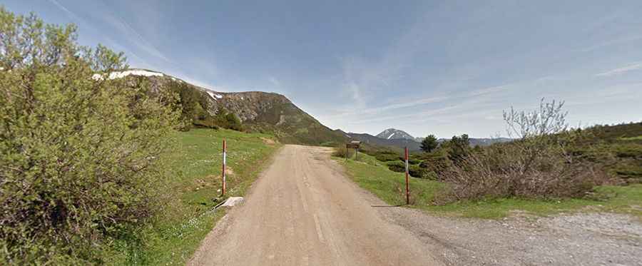
The winding road to the summit is totally paved but partly broken due the harsh weather. It’s called LE-333. The pass links the Principado de Asturias and Castilla y León.
How long is Puerto de las Señales?
The pass is 14.4 km (8.94 miles) long, running south-north from Puebla de Lillo (Castile and León) to Puerto de Tarna (Asturias). The road hits a 7.9% of maximum gradient through some of the ramps and has featured in the Spanish Vuelta race.
Is Puerto de las Señales open?
Set high in the Cordillera Cantábrica mountain range, within the Cabañas Valley, the pass is typically open all year round but short term closures are common in winter due to dangerous weather conditions.
Is Puerto de las Señales worth it?
Las Señales is a prominent pass in the Cantabrian mountains, near Picos de Europa National Park. The region is rich in flora and fauna and offers natural viewpoints. From its summit, visitors can see the Cantabrian range and its peaks. The pass has trails and forest pathways leading to high terrains, making access easier. A viewpoint at the peak overlooks the provincial border, and another pathway leads to a viewpoint of Picos de Europa.