A paved road to Puerto de Tarna in Cordillera Cantábrica
Puerto de Tarna is a high mountain pass at an elevation of 1.492m (4,895ft) above the sea level, located on the boundary between the northwestern part of the autonomous community of Castile and León and the autonomous community of Asturias, in northern Spain.
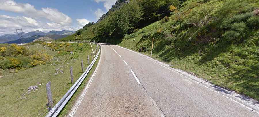
Set high in the Cordillera Cantábrica mountain range, within the Redes Natural Park, the road to the summit is totally paved. It’s called AS-117 (northern side) and CL-635 (southern side). Access to the pass is typically open all year round, with the occasional closure in winters due to dangerous weather conditions.
The pass road is 29.5 km (18.33 miles) long, running from La Foz to Lario. Starting from La Foz, the ascent is 18.2km long. Over this distance, the elevation gain is 949 meters. The average slope is 5.2%.