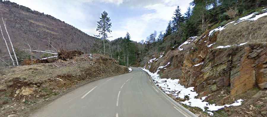
Driving the dizzying paved road to Col du Portillon on the Spanish-French border
Col du Portillon-Coll de Portilló is an international high mountain pass at an elevation of 1,293 m (4,242 ft) above sea level, located on the border of Spain and France.
Where is Col du Portillon-Coll de Portilló?
The pass links the Haute-Garonne department in the Occitanie region of southwestern France and the province of Lleida, in the autonomous community of Catalonia, in the northern part of Spain. The French/Spanish border is situated at the summit of this col.
Is the road to Col du Portillon-Coll de Portilló paved?
The curvy road to the summit is fully paved. It’s called D618A on the French side and N-141 on the Spanish side. The pass has been used in the Tour de France bicycle race. It is not recommended for those who get dizzy, as the drive features 20 hairpin turns.
How long is the road to Col du Portillon-Coll de Portilló?
The pass is 17.0 km (10.56 miles) long, running east-west from Bossòst (in western Aran) to Bagnères-de-Luchon.
Is the road to Col du Portillon-Coll de Portilló open in winter?
Set high in the Pyrenees mountain range, the pass is typically open all year round, but short-term closures are common in winter.