Road trip guide: Conquering La Villuerca in Extremadura
La Villuerca is a high mountain peak at an elevation of 1,603m (5,259ft) above sea level, located in Cáceres Province, in Spain.
Where is La Villuerca?
The peak is located in Las Villuercas comarca, in the Autonomous Community of Extremadura in the west-central part of the country.
What’s at the summit of La Villuerca?
The summit, also known as Risco de la Villuerca and Pico la Villuerca, is crowned with abandoned military installations of the former Base Centro Táctico, CT2, Guadalupe-Villuercas with tall antennas and a heliport. The army base, which operated from the 80s to the 90s, is completely decommissioned.
How long is the road to La Villuerca?
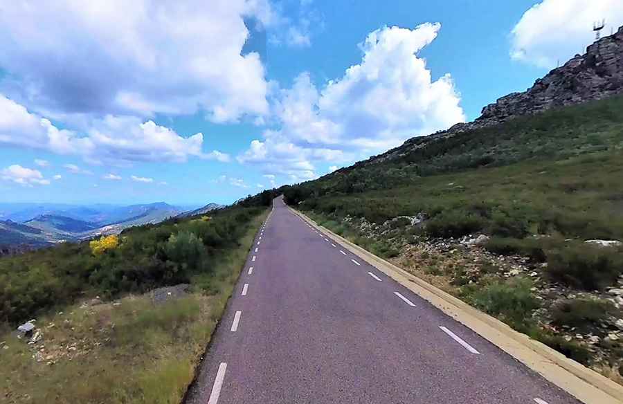
The road to the summit is fully asphalted but brutally steep. Starting from the paved CC-97 road, the ascent is 5.4 km (3.35 miles) long. Over this distance, the elevation gain is 580 meters. The average gradient is 10.74%. The final 600 meters averages 9.6% and includes the steepest ramps of the entire climb, reaching up to 15%.
A concrete road to the summit
On the northern side of the peak, there’s a minor road starting from CC97 Road. The climb is 5.4km long, and the road is totally paved with concrete. The road features numerous huge bumps that your car may be seriously damaged.
Is the road to La Villuerca open in winter?
Set high in the Sierra de Villuercas range, also known as Sierra de Guadalupe, the peak is often covered with snow in the winter.
Pic: Os Yu