Travel guide to Haza del Lino in Andalusia
Haza del Lino is a mountain pass at an elevation of 1.280m (4,199ft) above sea level, located in Granada, in Spain.
Where is Haza del Lino?
The pass is located in the eastern part of the autonomous community of Andalusia, in the southern part of the country.
Is Haza del Lino paved?
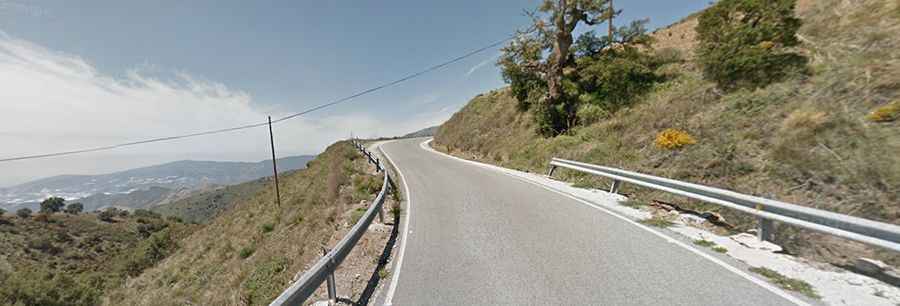
The pass sits atop the Sierra de la Contraviesa, a coastal mountain range famous for its vineyards, almond, and fig groves. The road to the summit is fully paved, yet curvy.
How long is Haza del Lino?
There are many approaches to the portal of Haza del Lino, both from the coast and inland. The most famous one is by the A-4131 road. The climb starts from Castell de Ferro via Rubite. It’s 22.2km (13.7 miles) long with an average gradient of 5.8%. This is perhaps the "classic" way to climb to the summit, featuring that brutally difficult middle section – there are 7km averaging 9.5% from kilometre 6 to 13. After a brief descent, there is another 7km of more typical matters, but the climb really strikes out hard in the middle.