Puerto de la Cubilla: The Ultimate Road Trip Guide
Puerto de la Cubilla is a high mountain pass at an elevation of 1.692m (5,551ft) above sea level, located in Spain. The climb is known as the Spanish Galibier.
Where is Puerto de la Cubilla?
The pass is located on the boundary between the province of León, in the autonomous community of Castile and León, and the Principality of Asturias, in the northwestern part of the country, within the Parque Natural Las Ubiñas y de la Mesa. At the summit there’s a parking lot.
How to get to Puerto de la Cubilla in Asturias?
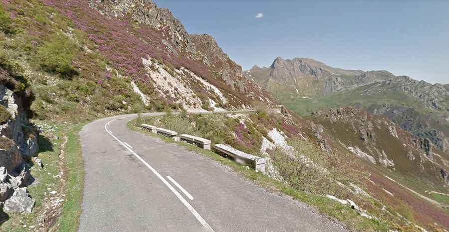
The road to the summit is totally paved on the Asturian side. It’s called LN-8. The road is not in the best condition because the area suffers harsh meteorological conditions every winter. There are a few bumpy patches, so be careful coming down. Starting from Campomanes, the ascent is 28 km long. Over this distance, the elevation gain is 1.305 meters. The average percentage is 4.66%. The road is pretty steep, hitting a 10% maximum gradient through some of the ramps. The climb has been featured in the Vuelta a España race. It is almost traffic-free.
How to get to Puerto de la Cubilla in Castile and León?
On the Castile side, the road is totally unpaved. A high-clearance vehicle is required.
Is Puerto de la Cubilla open in winter?
Set high in the Cantabrian Mountains, access to the pass is typically open all year round, with occasional closures in winter due to dangerous weather conditions.