Puerto de Ibañeta is a classic road trip in northern Spain
Puerto de Ibañeta is a mountain pass at an elevation of 1,063m (3,487ft) above sea level located in Navarra autonomous community, in Spain.
Where is Puerto de Ibañeta?
Located in the northern part of the country, near the French border, the pass has existed as an important crossing point since Roman times and has many names: Paso de Roncesvalles, Pass of Roncesvalles, Roncesvalles Pass, Puerto de Ibañeta; Ibañetako Mendatea, and Col de Roncevaux. The pass divides the valley of the Nive on the north from the valley of the Irati on the south.
Is Puerto de Ibañeta paved?
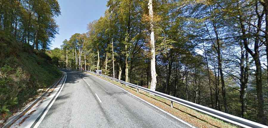
The road to the summit is totally paved in good conditions. It’s called N135.
How long is Puerto de Ibañeta?
The pass is 16.4 km (10.19 miles) long, running south-north from Roncesvalles to Luzaide/Valcarlos. The summit is home to the modern church known as Ermita de San Salvador de Ibañeta.
Is Puerto de Ibañeta open?
Set high in the Pyrenees mountain range, near the French border, access to the pass is typically open all year round. The road to the summit is very steep, hitting a 15% of maximum gradient through some of the ramps.
How to get by car to Ortzanzurieta?
On top of the pass, there’s a narrow paved mountain road (NA-2033) climbing up to Ortzanzurieta, a high mountain pass at an elevation of 1,570m (5,150ft) above sea level. The road is 6km long.