Driving a paved mountain road to San Glorio Pass in Picos de Europa
Puerto de San Glorio is a high mountain pass at an elevation of 1,604m (5,262ft) above sea level, located on the boundary between Cantabria and Castile and León autonomous communities in Spain.
Where is San Glorio Pass?
Tucked away in the northwestern part of the country, the pass links the autonomous community of Cantabria and the Province of León in the Castile and León autonomous community.
Is San Glorio Pass paved?
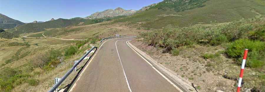
Set high in the Picos de Europa mountain range, the road to the summit, formerly known as San Clovis and San Clovio, is totally paved. It's called the N-621. At the summit, there is a parking lot and a paved dead-end road leading to the Collado de Llesba viewpoint. There are plans to build a ski resort near the top of the pass.
How long is San Glorio Pass?
The pass is 36.8 km (22.86 miles) long, running from Portilla de la Reina (in León) to Potes (in Cantabria).
Is San Glorio Pass challenging?
The pass is a regular feature in the Vuelta a España race. The road is steep and hits a maximum gradient of 11.0% through some of the ramps. The pass is open all year round. The area around the pass is important for the local bear population.