Travel guide to the top of Pic Negre
Pic Negre is an international high mountain peak at an elevation of 2.643m (8,671ft) above sea level, located on the Andorran-Spanish border. It's one of the highest roads in the country.
Where is Pic Negre?
The peak is located on the boundary between Escaldes-Engordany and Sant Julià de Lòria parishes of Andorra and the province of Lleida, in the northwestern part of the autonomous community of Catalonia in Spain.
Why is it called Pic Negre?
The peak got its name due to the dark color of the stone that composes it.
A Volkswagen T1 near the summit
Near the peak, overlooking the Andorran landscape, rests an abandoned and iconic Volkswagen T1. This vintage van stands as a remarkable sight during the ascent, serving as a cherished highlight. For three decades, it has faithfully watched over the mountain, greeting and embracing new visitors. Legend has it that this van holds the distinction of being the first van to conquer this peak in the 1970s. However, upon reaching the summit, its engine faltered, forever binding it to the surrounding landscape and becoming an indelible part of the area's rich history.
Can you drive to Pic Negre?
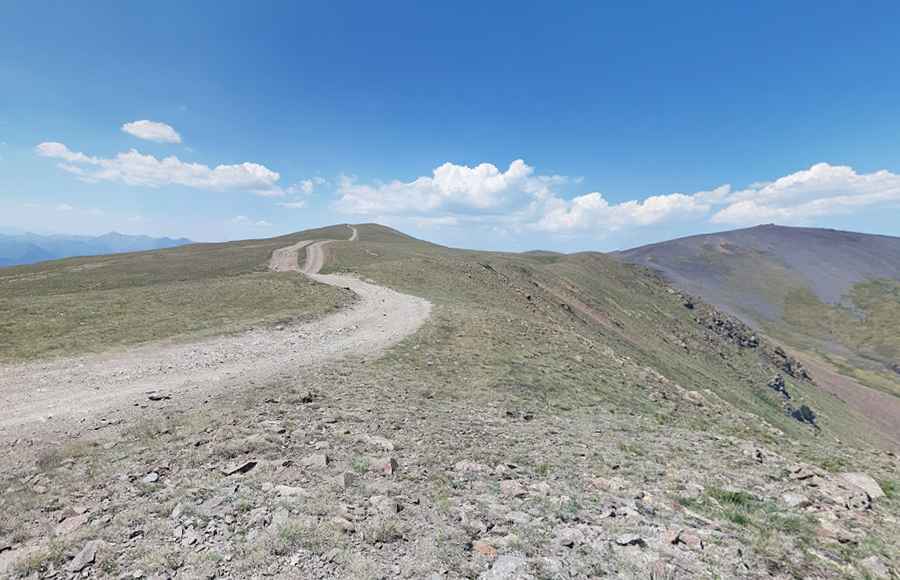
The road to the summit is totally unpaved with loose stones. This route is not suitable for normal cars. A 4x4 vehicle is required.
On the Andorran side, starting at Sant Julià de Lòria, the ascent is 20.8 km (12.92 miles) long. Over this distance the elevation gain is 1.638 meters. The average gradient is 7.87%, hitting a 16% of maximum gradient through some of the ramps.
On the Spanish side, starting at Bescaran, the ascent is 16.4 km (10.19 miles) long. Over this distance the elevation gain is 1.360 meters. The average gradient is 8.29%, hitting a 20% of maximum gradient through some of the ramps.
Is the road to Pic Negre open?
Set high in the Pyrenees mountain range, the road is usually open from May through November. The open and close dates all depend on snowfall each year.
Pic: Martin Aire (MeteoLaSenia)