A wild road to Pico de las Nieves in the Canary Islands
Pico de las Nieves is a high mountain peak at an elevation of 1,942m (6,371ft) above sea level, located on the island of Gran Canaria, Canary Islands, Spain. It’s the second-highest peak on the island and boasts one of the best roads in the Canary Islands.
How to get to Pico de las Nieves?
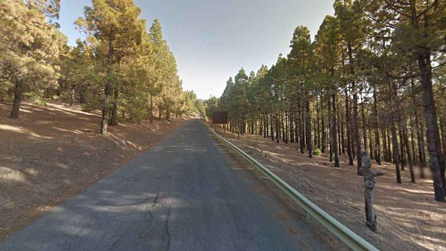
Set high on the central part of the island, the road to the summit is totally paved. It’s called GC-134. Part of the World Reserve of the Gran Canaria Biosphere, the summit can be accessed by car, as there is a road used by the army.
How long is the road to Pico de las Nieves?
Starting at the paved GC-130, the ascent is 1.4 km (0.86 miles) long. It’s a steep road, hitting a 10% maximum gradient through some of the ramps.
What’s on top of Pico de las Nieves?
Most of the highest plateau is occupied by a military base, including a big soccer-ball-shaped radar, and is off-limits. The summit hosts a natural viewpoint, from which half of the island as well as Tenerife's Pico del Teide can be seen, in case of good weather. At the top, you’ll have the opportunity to look at the rarefied denim blue sky, at the distant Teide peak on Tenerife, or down to the valley from whence you came and thence forward you descend. Take care of the trade wind clouds which often cover the summit. Avoid windy and rainy days.