Puerto de la Sia is a classic climb in the Cantabrian Mountains
Puerto de la Sia is a mountain pass at an elevation of 1.229m (4,032ft) above sea level, located in Spain.
Where is Puerto de la Sia?
The pass, also known as Portillo de la Sia, is located on the boundary of Cantabria and Castile and León regions, in the northern part of the country.
What’s at Puerto de la Sia?
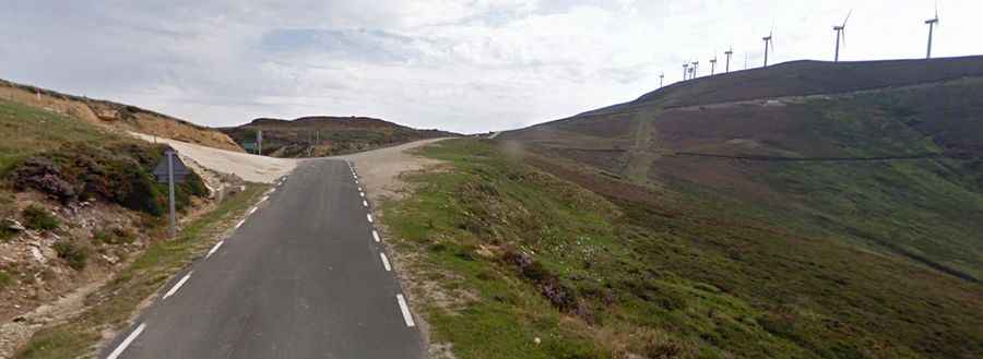
The summit hosts a small parking lot, with an abandoned mountain refuge. A minor narrow unpaved road east of the summit links the pass with the wild Picón Blanco at an elevation of 1.512m (4,960ft) above sea level. The road is 4.8 km long. 4x4 vehicles only. It’s usually impassable in winter.
Is Puerto de la Sia paved?
The road to the summit is fully paved but narrow in parts. It’s called CA-665 on the Cantabria side and BU-571 on the Castile and León side. The road is pretty steep, hitting a 10.0% gradient through some of the ramps.
Is Puerto de la Sia open in winter?
Set high in the Cantabrian Mountains, the road through the pass is open to traffic throughout the year, but it may be closed for short periods in winter when the weather is bad.
How long is Puerto de la Sia?
The pass is 21 km (13 miles) long, running south-north from Espinosa de los Monteros, a small village, towards the CA-265 road.