The 6 Most Amazing Roads in Garraf Massif
The Garraf Massif is a rugged limestone range along the Mediterranean coast south of Barcelona, defined by barren terrain, deep ravines, and sudden coastal drops.
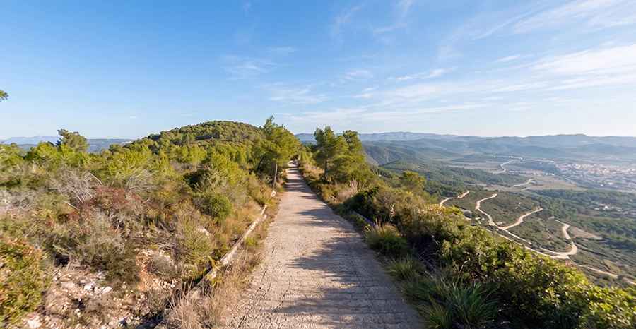
The roads carving through this mountain block were built primarily to service fire lookout towers, weather radars, and telecommunication antennas perched on the highest crests. Driving here means dealing with extreme gradients up to 23%, broken concrete, loose rock, and tight access tracks where single-lane driving is the rule.
What are the steep service tracks of the Garraf Massif?
The service roads leading to the summits of Garraf combine steep ramps, degraded pavement, and restricted access tracks across the mountain range.
| Garraf Massif Summit Tracks | |
|---|---|
| Highest Peak | El Montau (654 m) |
| Steepest Climb | Rat Penat (23% max gradient) |
| Key Hazards | Broken concrete, loose gravel, narrow hairpins, heat exposure |
| Access Status | Mix of open paved tracks and chain-barriered park trails |
Which are the 6 most extreme roads to climb in Garraf?
Rat Penat
Starting at sea level from Les Botigues de Sitges, the paved climb to Turó de l'Alzina Freda spans 6.2 km at an average gradient of 9.17%. The route hits extreme ramps of 23% and hosts a radar dome and weather stations at the top. Motor vehicles must stop 2 km before the summit due to access restrictions.
Puig de Montgròs
Rising to 357 meters above Sant Pere de Ribes, this 4 km service track climbs 321 vertical meters with an average gradient of 8% and pitch maxing out at 14%. The original concrete surface is completely destroyed in the upper section, leaving behind potholes, loose concrete blocks, and exposed bedrock that pose severe hazards to low-clearance vehicles. The road leads directly to the regional telecommunications relay station.
La Talaia
Located on the border between Alt Penedès and Garraf, this 2.1 km paved concrete track starts at Camí del Mas Ricart in Vilanova i la Geltrú. The ascent gains 159 meters of elevation with ramps reaching up to 20%. The pathway is extremely narrow with blind corners, leading straight to a forest fire lookout tower at 275 meters altitude.
Pic de l'Àliga
Starting from the BV-2443 road between Canyelles and Olèrdola, the 3.3 km track to the 460-meter summit is completely unpaved. The surface consists of limestone gravel and packed dirt with 12% maximum ramps and sharp drops without guardrails. It provides access to a metallic wildfire surveillance tower and the Oratori chapel.
Puig de la Mola
Climbing to the highest point in the Garraf comarca at 534 meters, this 4.6 km unpaved track starts near Olesa de Bonesvalls off the BV-2411. The dirt and gravel road averages 5.45% with ramps hitting 11%. Built for the summit fire tower and geodesic vertex, motor vehicle access is physically blocked by a chained barrier.
El Montau
Reaching 654 meters on the border of Alt Penedès and Baix Llobregat, the 5.3 km mountain track starts at Begues Parc. The unpaved route climbs 276 vertical meters over dirt and loose rock, featuring sharp bends and 12% gradients. The track services the summit communications antenna and lookout tower, but remains closed to unauthorized private vehicles.