Can I drive the steep road to La Talaia in Garraf?
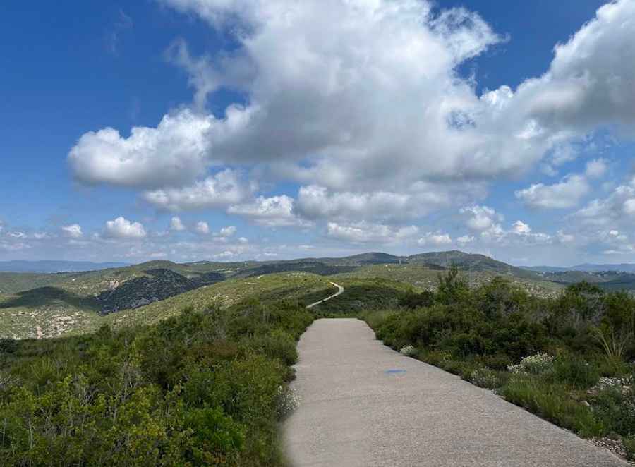
La Talaia (also known as Puig de la Talaia) is a mountain peak at an elevation of 275 meters (902 ft) above sea level in Barcelona province, Spain. Located on the border between Alt Penedès and Garraf, the summit features a forest fire lookout tower accessed via a narrow, paved concrete track starting from Vilanova i la Geltrú.
| Road facts: La Talaia | |
|---|---|
| Location | Vilanova i la Geltrú, Garraf, Barcelona (Spain) |
| Elevation | 275 m (902 ft) |
| Length | 2.1 km (1.3 miles) from Camí del Mas Ricart |
| Elevation Gain | 159 m (521 ft) |
| Average Gradient | 7.57% |
| Max Gradient | 20% |
| Surface | Paved concrete (Narrow sections) |
Where is La Talaia located?
The peak sits on the boundary line between the Alt Penedès and Garraf comarques in Catalonia, northeastern Spain. Rising above the coastal plains, the summit overlooks Vilanova i la Geltrú, Cubelles, Sant Pere de Ribes, Sitges, and the Foix reservoir.
Why is there a road to La Talaia?
The service track was built to access the forest fire lookout tower constructed at the summit in 2000, providing vantage points over the surrounding coastal slopes and the Garraf Massif.
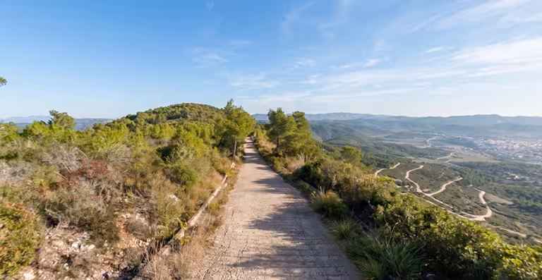
Discover more extreme climbs in the Garraf Massif in our guide: The 6 Most Amazing Roads in Garraf Massif.
Is the road to La Talaia paved?
Yes. The entire track, known as Camí de la Talaia, is fully paved with concrete. While fully paved, the roadway is extremely narrow in multiple sectors, requiring caution on blind corners.
How steep is the road to La Talaia?
The ascent is short but severe, hitting a maximum gradient of 20% on its steepest ramps through the lower and middle sections.
How long is the road to La Talaia?
Starting from Camí del Mas Ricart in Vilanova i la Geltrú, the road to the summit spans 2.1 kilometers (1.3 miles). Over this distance, the track gains 159 vertical meters with an average gradient of 7.57%.
Pic: Jannis Berg