How to drive the paved road to Coll de Montnou in Lleida?
Coll de Montnou is a high mountain pass at an elevation of 1,760m (5,774ft) above sea level, located in the province of Lleida, in Spain.
| Road facts: Coll de Montnou | |
|---|---|
| Location | Lleida, Catalonia (Spain) |
| Elevation | 1,760 m (5,774 ft) |
| Length | 5.9 km (3.66 miles) from L-401 |
| Elevation Gain | 539 m (1,768 ft) |
| Average Gradient | 9.13% |
| Hairpin Turns | 11 switchbacks |
| Surface | Paved asphalt (Narrow single lane) |
Where is Coll de Montnou?
The pass is located in the autonomous community of Catalonia, in the northern part of Spain.
Is the road to Coll de Montnou paved?
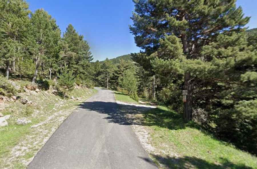
The road to the summit is totally paved yet narrow (impassable in some parts for 2 average vehicles). It comprises steep parts and 11 hairpin turns. The road is very scenic as well, as it provides great views of the mountains.
How long is the road to Coll de Montnou?
Starting from the paved L-401, the road to the summit is 5.9 km long. Over this distance, the elevation gain is 539m and the average gradient is 9.13%.
Is the road to Coll de Montnou open year-round?
Set high in the Serra de Turp, the road is officially open year-round, but local councils advise against driving this road from November 1 to May 15 due to icy conditions.