Can I drive the steep road to the weather radar at Puig d'Agulles in Barcelona?
Puig d'Agulles is a mountain peak at an elevation of 653m (2,142ft) above sea level, located in the province of Barcelona, Spain.
| Road facts: Puig d'Agulles | |
|---|---|
| Location | Barcelona, Catalonia (Spain) |
| Elevation | 653 m (2,142 ft) |
| Length | 2.7 km from Urbanització Safari |
| Average Gradient | 5.51% |
| Max Gradient | 14% |
| Surface | Unpaved gravel and concrete sections |
Where is Puig d'Agulles?
The peak is located on the boundary between Alt Penedès and Baix Llobregat, in the autonomous community of Catalonia, in the northeastern part of the country.
Why is there a road to the summit of Puig d'Agulles?
At the summit, there is a geodesic vertex, a weather radar launched in 1996 by the Instituto Nacional de Meteorología (now AEMET), and an old fire watch cabin. This cabin is currently in very poor condition, severely damaged, and can be dangerous.
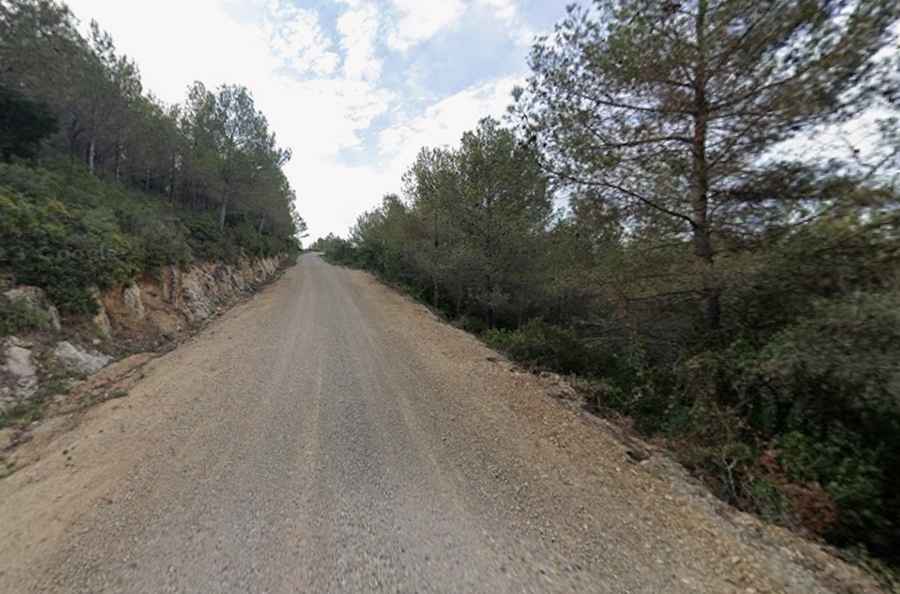
Is the road to Puig d'Agulles unpaved?
The road to the summit is narrow and very steep. The track mixes unpaved gravel and concrete sections. Most passenger cars can make it up, but a 4x4 provides better traction and comfort on the steepest gravel stretches.
How long is the road to Puig d'Agulles?
Starting from Urbanització Safari, in Gelida, the road to the summit is 2.7 km long. Over this distance, the elevation gain is 149 m and the average gradient is 5.51%, hitting a 14% maximum gradient through some of the ramps.
Is the road to Puig d'Agulles open in winter?
As the highest peak in the Serra de l'Ordal mountain range, the road remains open year-round.