How to drive the broken LR-113 road to Collado Garcimarra in Sierra de la Demanda
Collado Garcimarra is a mountain pass at an elevation of 1,237m (4,058ft) above sea level located in Spain.
| Road facts: Collado Garcimarra | |
|---|---|
| Location | La Rioja / Burgos Border, Spain |
| Elevation | 1,237 m (4,058 ft) |
| Road Number | LR-113 |
| Length | 9.2 km (5.71 miles) |
| Surface | Paved (Very Bad Condition) |
Where is Collado Garcimarra?
The pass is located on the boundary between the provinces of La Rioja and Burgos, in the northern part of the country. The pass is known more for its deteriorating road surface than for its height.
Is the road to Collado Garcimarra paved?
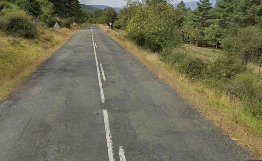
The road through the pass is totally paved, yet in pretty bad condition. It’s called LR-113 Road. It is popular for its deteriorating surface, which is partly broken in several stretches. Years of exposure to the harsh mountain winters and heavy frost have caused the asphalt to crack and peel. Drivers should be prepared for deep potholes and sections where the pavement has almost disappeared, leaving a surface that feels more like a gravel track than a road. Extreme caution is advised, especially in wet weather when the broken sections can hide deep puddles.
How long is the road to Collado Garcimarra?
The road through the pass is 9.2 km (5.71 miles) long, running east-west from the village of Canales de la Sierra in La Rioja to Monterrubio de la Demanda in the province of Burgos. The drive offers a wild, solitary experience through one of the least populated areas of Spain.
Is the road to Collado Garcimarra open in winter?
Located in the heart of the Sierra de la Demanda due to its elevation of 1,237 meters and its location in a high-precipitation area, the LR-113 at Collado Garcimarra can be treacherous during the winter months. Snow and ice are frequent from December to March.