How to drive the winding C-44 road to Coll de Fatxes in Tarragona
Coll de Fatxes is a mountain pass at an elevation of 512m (1,680ft) above sea level, located in the province of Tarragona, in Spain.
Where is Coll de Fatxes?
The pass is located in the autonomous community of Catalonia, in the northeastern part of the country. It connects the coastal areas of Baix Camp with the inland mountains of Ribera d'Ebre.
| Road facts: Coll de Fatxes | |
|---|---|
| Location | Tivissa to Vandellòs, Tarragona (Spain) |
| Elevation | 512 m (1,680 ft) |
| Road Name | C-44 |
| Length | 10 km (6.2 miles) |
| Surface | Paved / Excellent condition |
| Hazard Level | Moderate (Wind & Dangerous Overtaking) |
What’s at the summit of Coll de Fatxes?
Historically, Coll de Fatxes has been a strategic point, and even today, ruins from the Spanish Civil War remain. Near the summit, you can find the abandoned village of Fatxes, a haunting reminder of the region's past.
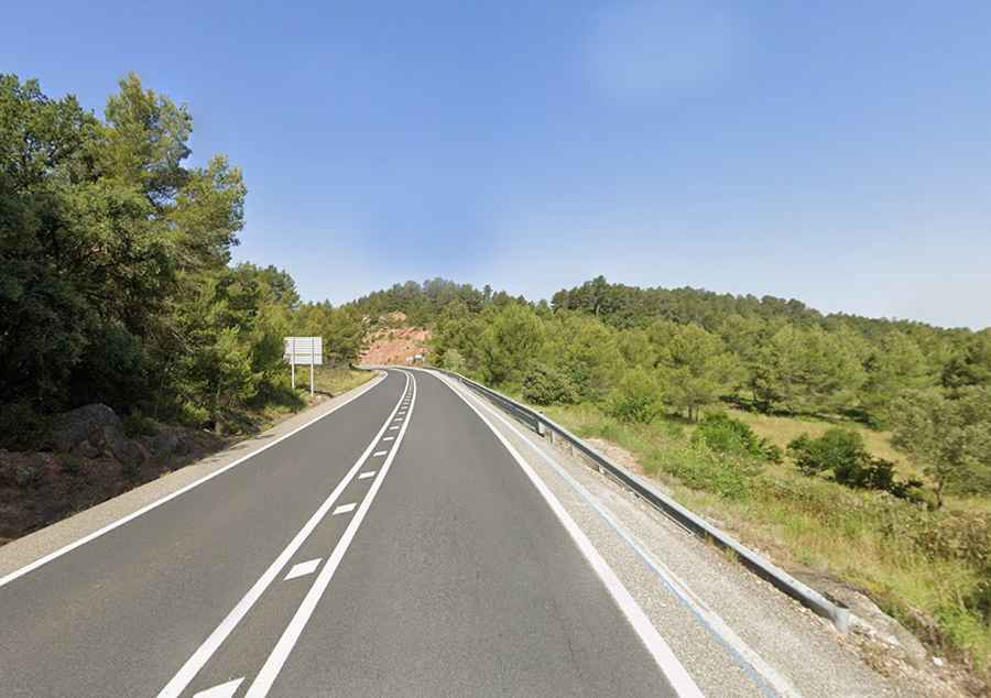
Is the road to Coll de Fatxes paved?
Tucked away in Serra de la Vall de Llors, the road to the summit is called C-44. This is a funny road to drive, with a good asphalt and a series of sweeping curves. The road has some steep ramps, both ascending and descending, that keep the driver fully engaged with constant gear changes.
How long is the road through Coll de Fatxes?
The road through the pass is 10 km (6.2 miles) long, running between Tivissa and Vandellòs. Despite the excellent road quality, Coll de Fatxes can be dangerous due to the high volume of users and unpredictable behavior. The pass is a magnet for cyclists and motorcyclists, especially during weekends. The main danger here is some motorcyclists performing illegal overtakes on continuous lines.