How to drive the steep unpaved road to Collada de la Gobia?
Collada de la Gobia is a high mountain peak at an elevation of 1,837m (6,026ft) above sea level, situated in the province of León, in Spain.
| Road facts: Cueto de Arbás | |
|---|---|
| Location | León, Castile and León, Spain |
| Elevation | 1,837 m (6,026 ft) |
| Length | 2.0 km (1.24 miles) |
| Average Gradient | 13.55% |
| Max Gradient | 15% |
| Technical Requirement | 4x4 mandatory |
Where is Collada de la Gobia?
The peak is located in the autonomous community of Castile and Leon, near the border with Asturias, in the northern part of the country. The route is characterized by extreme gradients and a loose, high-vibration surface.
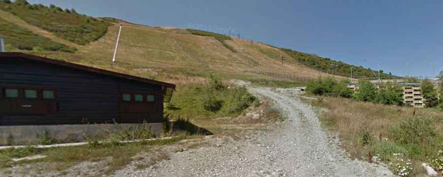
Is the road to Collada de la Gobia unpaved?
The road to the summit is a maintenance road for chairlift infrastructure of the Leitariegos ski resort. The track surface consists of loose limestone and slate debris, typical of the area. A 4x4 vehicle is required.
How long is the road to Collada de la Gobia?
Starting from the paved Puerto de Leitariegos (AS-213), the road to the summit is 2.0 km long. Over this distance, the average gradient is 13.55%.
Is the road to Collada de la Gobia open in winter?
Set high in the Cantabrian Mountains, the track is impassable during the winter season due to snow cover and ski resort operations. At this elevation, the summit is exposed to sudden weather shifts.