Driving the AL-3404 to Puerto de Santillana: Curves and rockslides in Almería
Located in the eastern foothills of the Sierra Nevada National Park, in the province of Almería, the ascent to Puerto de Santillana is a technical and demanding paved transit. Reaching an elevation of 1,342m (4,402ft) above sea level, the road—officially the AL-3404—is a modern engineering feat that follows ancient footpaths. It is a drive defined by constant directional changes, significant exposure, and a mountain environment that is as beautiful as it is unforgiving for the unprepared vehicle.
| Road facts: Puerto de Santillana | |
|---|---|
| Location | Abla to Canjáyar, Almería (Spain) |
| Elevation | 1,342 m (4,402 ft) |
| Road Name | AL-3404 |
| Length | 27 km |
| Max Gradient | 9.1% |
Where is Puerto de Santillana?
The pass is situated in the autonomous community of Andalusia, in the southeastern part of Spain. The AL-3404 connects the towns of Abla and Canjáyar, cutting through the eastern section of the Sierra Nevada. This is a region of extreme contrasts, where the dry, desert-like heat of the Almería lowlands quickly transitions into a high-altitude mountain climate. The road is a vital logistical link, but its location makes it susceptible to sudden weather changes and geological instability.
Is Puerto de Santillana paved?
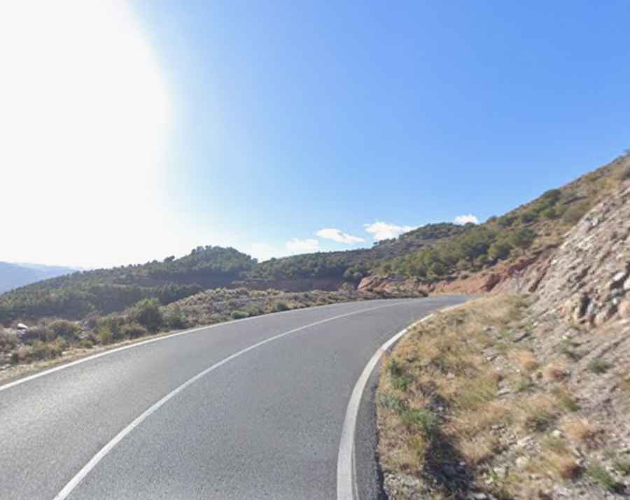
Yes, the road is fully paved, but don't expect a relaxing cruise. Although the current asphalt was first laid in the 1990s, the AL-3404 is narrow and incredibly curvy. The main hazard here isn't the surface quality, which is generally acceptable, but the high risk of rockslides. After even light rain, the steep limestone and slate walls flanking the road frequently shed debris. You must stay alert for sharp stones in the middle of the hairpins that can easily puncture a tire or cause a motorcycle to lose the front end.
How long is the transit through Puerto de Santillana?
The entire road through the pass is 27 km long. Running north-south, it is a sustained exercise in steering and gear management. Because of the technical nature of the climb, you cannot maintain a high average speed. Every kilometer is packed with directional changes, meaning your vehicle's brakes and suspension are under constant load for the entire duration of the trip. The isolation of the route means that any mechanical failure becomes a significant problem, as traffic is light and cell service can be spotty in the deeper ravines.
How challenging is the drive through Puerto de Santillana?
The southern side of the pass is particularly demanding, featuring a relentless series of hairpin turns and tight corners. The road hits a maximum gradient of 9.1% through some of the ramps, requiring low gears to maintain momentum without overheating the engine in the intense Almería sun. The lack of substantial safety barriers in several sections increases the "exposure" feel of the drive. On the descent, the constant braking required for the hairpins will quickly lead to brake fade if you don't engage heavy engine braking. It is a road that rewards precision but punishes any lapse in concentration with its dangerous drops and unpredictable debris on the asphalt.