How to drive the paved road to Puerto de Leitariegos?
Puerto de Leitariegos is a high mountain pass at an elevation of 1,525m (5,003ft) above sea level, located in northern Spain. The pass serves as a primary logistical link between the plateau of León and the coastal regions of Asturias, crossing the main axis of the Cantabrian Mountains.
| Road facts: Puerto de Leitariegos | |
|---|---|
| Location | León / Asturias border, Spain |
| Elevation | 1,525 m (5,003 ft) |
| Road Number | AS-213 / LE-497 |
| Length | 13.9 km (8.6 miles) |
| Max Gradient | 15% |
Where is Puerto de Leitariegos?
The pass is located on the border between the province of León (Castile and León) and Asturias. It’s situated between the Reserva de la Biosfera del Valle de Laciana and the Reserva Natural Parcial del Cueto de Arbas. This geographical position makes it a sensitive logistical area during heavy winter storms, as it is one of the lowest passes in the central Cantabrian range, often used as an alternative route when higher passes are closed.
What’s at Puerto de Leitariegos?
At the summit, there’s a small village with the same name as the pass, as well as a ski resort known as Estación Invernal Valle Laciana – Leitariegos. Technically, the village is one of the highest inhabited settlements in the region, which requires constant road maintenance to ensure access to the ski facilities and local services throughout the year.
Is the road through Puerto de Leitariegos paved?
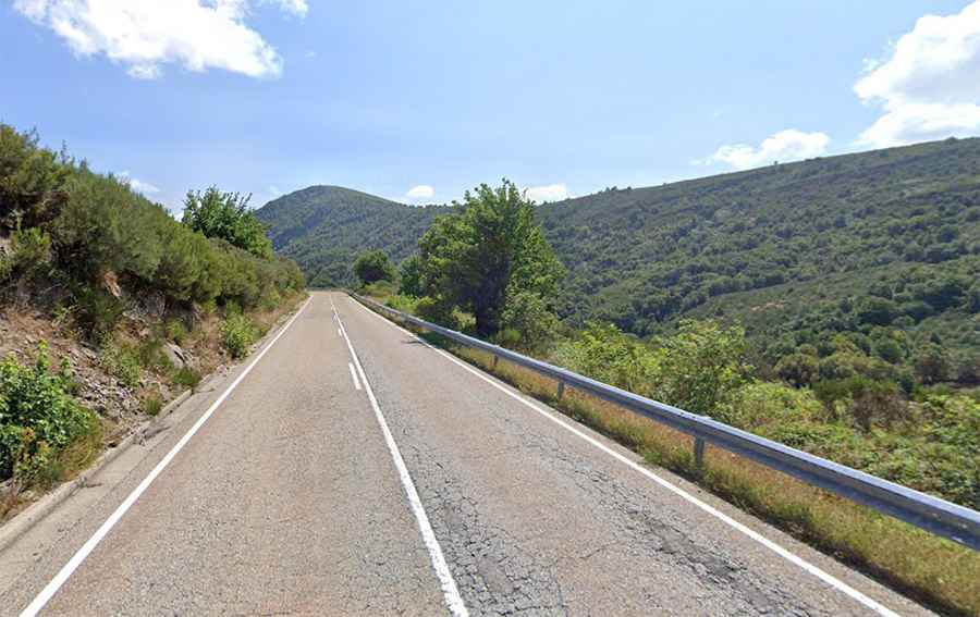
The road through the pass is fully paved. It is designated as AS-213 on the northern (Asturian) side and LE-497 on the southern (Leonese) side. Technically, the road comprises steep sections, narrow parts, and 6 hairpin turns. The asphalt quality is generally good due to the transit of buses and transport vehicles to the ski resort, though frost heave can create technical hazards during the spring thaw.
How long is the road through Puerto de Leitariegos?
The road through the pass is 13.9 km long, running south-north from Caboalles de Abajo (León) to Brañas de Arriba (Asturias). Logistically, the Asturian side is the more technical ascent, featuring a more sustained climb compared to the gentler approach from the Leonese plateau.
How steep is the road through Puerto de Leitariegos?
The average gradient is 5.79%, but the road is technically demanding as it hits a 15% maximum gradient through specific ramps. These steep sectors require disciplined gear management, especially for heavy vehicles or those towing trailers, as the 15% inclines are concentrated near the hairpin turns on the northern face.
Is the road through Puerto de Leitariegos open in winter?
Set high in the Cantabrian Mountains, the road is usually open year-round. However, short-term logistical closures in winter are common due to heavy snowfalls. Because of the ski resort at the summit, the snowplows prioritize this route, but the use of winter tires or chains is a technical requirement when the "Nivel Rojo" (red level) alert is active on the AS-213 and LE-497.