How to drive the unpaved road to Cogulló d’Ares in the Cabó Valley
Cogulló d’Ares is a high mountain peak at an elevation of 1,655m (5,429ft) above sea level located in the province of Lleida, in Spain.
| Road facts: Cogulló d’Ares | |
|---|---|
| Location | Lleida, Spain |
| Elevation | 1,655 m (5,429 ft) |
| Length | 14.5 km (9.0 miles) |
| Surface | Unpaved / White Clay and Gravel |
| Hairpins | 21 |
Where is Cogulló d’Ares?
The peak is located in the Alt Urgell comarca, in the autonomous community of Catalonia, in the northeastern part of the country within the Cabó Valley.
Why is there a road to Cogulló d’Ares?
The summit hosts communications antennas.
How long is the road to Cogulló d’Ares?
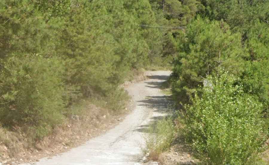
The road to the summit is called Camí de la Fontanella. It starts at km 166 of the C-14 road near the Tresponts tunnel. The route is 14.5 km long and totally unpaved. Right from the start, the track is composed of fine white clay and loose gravel. It is narrow, with no safety barriers.
How is the road to Cogulló d’Ares?
The drive is divided into three steep stages: an initial section, very steep, featuring 14 sharp hairpin turns in the first 4 km; a second climb after the Fontanella ravine, and the final 4 km push from Coll els Coms.
Can I drive my vehicle to Cogulló d’Ares?
A 4x4 vehicle is required. Standard cars will struggle with traction right from the base due to the loose soil and steep inclines.
Is the road to Cogulló d’Ares open in winter?
Set high in the Serra d'Ares range, the road is frequently blocked by snow during the winter months. The best time to drive the road is late spring or early summer.