Collado Garcimarra: Driving the broken LR-113 road in Sierra de la Demanda
Located in the heart of the Sierra de la Demanda, on the border between the provinces of La Rioja and Burgos, Collado Garcimarra is a mountain pass at an elevation of 1,237m (4,058ft) above sea level. This pass is a strategic but often overlooked crossing in northern Spain, known more for its deteriorating road surface than for its height.
| Road facts: Collado Garcimarra | |
|---|---|
| Location | La Rioja / Burgos Border, Spain |
| Elevation | 1,237 m (4,058 ft) |
| Road Number | LR-113 |
| Length | 9.2 km (5.71 miles) |
| Surface | Paved (Very Bad Condition) |
Where is Collado Garcimarra?
The pass is situated near the Castile and León border, specifically within the rugged northern territory of Spain. It serves as a high-altitude link between the autonomous community of La Rioja and the province of Burgos. Geographically, it sits on the watershed that divides the valleys of the Sierra de la Demanda, an area characterized by deep beech forests and isolation. For those navigating by GPS, the coordinates are 42.141861, -3.077611, though the name "Collado Garcimarra" is primarily recognized on official cartographic maps and digital navigation platforms like Google Maps.
Is the road to Collado Garcimarra paved?
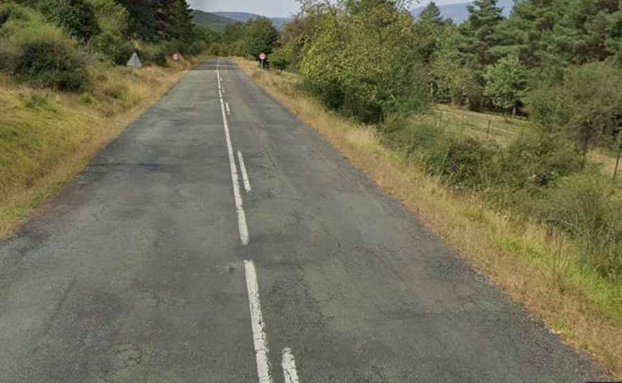
The road through the pass is totally paved, yet it is in very bad condition. The route, designated as the LR-113 Road, is notorious for its deteriorating surface, which is partly broken in several stretches. Years of exposure to the harsh mountain winters and heavy frost have caused the asphalt to crack and peel, creating a bumpy and unpredictable ride. Drivers should be prepared for deep potholes and sections where the pavement has almost disappeared, leaving a surface that feels more like a gravel track than a regional highway. Extreme caution is advised, especially in wet weather when the broken sections can hide deep puddles.
How long is the road to Collado Garcimarra?
The total distance through the pass is 9.2 km (5.71 miles) long. The road runs in an east-west direction, connecting the picturesque village of Canales de la Sierra in La Rioja with Monterrubio de la Demanda in the province of Burgos. Despite its relatively modest length, the drive takes longer than expected due to the technical nature of the road and the need to maneuver around the broken asphalt. The route offers a wild, solitary experience through one of the least populated areas of Spain, where the sense of isolation is as impressive as the surrounding mountain ridges.
Is the road to Collado Garcimarra open in winter?
Due to its elevation of 1,237 meters and its location in a high-precipitation area, the LR-113 at Collado Garcimarra can be hazardous during the winter months. Snow and ice are frequent from December to March, and because the road is in poor condition, snowplows can sometimes struggle to clear the broken surface effectively. In the shoulder seasons, morning frost often settles in the cracks of the asphalt, making the steep ramps and curves extremely slippery. It is a route that rewards the patient driver but demands respect for the deteriorating infrastructure and the unpredictable Alpine climate of the Sierra de la Demanda.