Is the road to Puerto Molina in Sierra Nevada open to vehicles?
Puerto Molina is a high mountain pass at an elevation of 2,394m (7,854ft) above sea level, located in the Sierra Nevada range, Granada. Logistically, the pass is a key transit point on the Camino de los Franceses, an unpaved high-altitude corridor. Technically, it is positioned along one of the highest roads in the country, crossing metamorphic schist and loose slate surfaces that require high-clearance capabilities.
| Road facts: Puerto Molina | |
|---|---|
| Location | Sierra Nevada (Granada), Spain |
| Elevation | 2,394 m (7,854 ft) |
| Length | 23.3 km (Capileira to Veleta) |
| Surface | Unpaved (Schist and loose slate) |
How long is the unpaved road through Puerto Molina?
The road through the pass, technically known as the Camino del Mulhacén, spans 23.3 km (14.47 miles). It runs North-South, connecting the high-altitude Veleta peak with the town of Capileira. Technically, the track maintains a sustained incline with gradients that vary as the roadbed crosses the Poqueira gorge drainage points. Logistically, the surface is composed of fragmented shale which offers low traction during the spring melt, demanding constant monitoring of tire pressure and engine temperature due to the high-altitude oxygen deficit.
What are the vehicle restrictions on the Puerto Molina road?
Technically, the track is a service road with restricted access under National Park regulations. Logistically, motorized transit is prohibited for the general public beyond the Hoya del Portillo barrier. Only authorized park service 4x4s, rescue units, and bicycles are permitted to navigate the sector. For authorized missions, a high-clearance 4WD system is mandatory; the roadbed is prone to subsidence and rockfalls from the schist cliffs, especially between Puerto Molina and the higher Trevélez viewpoint spurs.
What are the weather hazards on the Puerto Molina route?
At 2,394m, Puerto Molina is subject to extreme sub-alpine weather. Technically, the track is impassable for six to eight months of the year due to deep snow drifts and ice sheets. Logistically, the primary hazard is the wind-chill and sudden fog (locally known as 'tarbinas') that can reduce visibility to zero in minutes. The lack of any structural cover or trees along the ridge means vehicles and cyclists are fully exposed to high-velocity winds coming from the Mediterranean, which can cause lateral instability on the narrow, unprotected shoulders of the track.
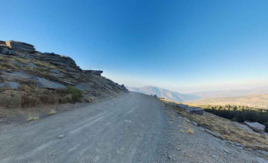
Pic: Dan Sheehan