How to drive the technical L-511 road to Coll de Boixols?
Coll de Bóixols (also known as Coll de Boix) is a mountain pass at an elevation of 1,337 meters (4,386 ft) above sea level on the border between the Pallars Jussà and Alt Urgell comarques in Lleida, Spain. The paved L-511 road connects the Tremp basin with the Segre valley across the Pre-Pyrenees.
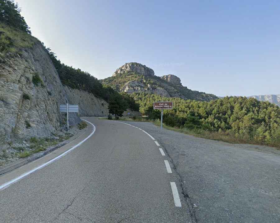
| Road facts: Coll de Bóixols (L-511) | |
|---|---|
| Location | Isona to Coll de Nargó, Lleida, Catalonia (Spain) |
| Road Name | L-511 |
| Elevation | 1,337 m (4,386 ft) |
| Length | 41 km (25.4 miles) |
| Max Gradient | 7.9% |
| Surface | Paved asphalt (Narrow sections) |
Where is the L-511 road to Coll de Bóixols located?
The L-511 road runs west to east through the Pre-Pyrenees of Lleida, connecting Isona i Conca Dellà in Pallars Jussà with Coll de Nargó in Alt Urgell. The route passes through the village of Bóixols before reaching the summit view point at the border of the two comarques.
Is the L-511 road to Coll de Bóixols paved?
Yes. The entire 41-kilometer length of the L-511 is paved with asphalt. While the surface is maintained in good condition, the roadbed is narrow, single-lane in specific rock-cut sectors, and features continuous winding curves along mountain flanks without centerlines in the central sections.
How steep is the road to Coll de Bóixols?
The climb features sustained gradients reaching a maximum incline of 7.9% on its steepest ramps. The eastern descent toward Coll de Nargó maintains long downhill stretches that put continuous wear on vehicle brakes.
How long is the drive over Coll de Bóixols?
The route spans 41 kilometers (25.4 miles) between Isona and the C-14 junction at Coll de Nargó. At the 1,337-meter summit, a small asphalt pull-off area provides parking next to the mountain lookout point.