Conquering Coll de Peguera: Catalonia's Challenging Mountain Road Adventure
Coll de Peguera is a mountain pass at an elevation of 1,721m (5,646ft) above sea level, located in the province of Barcelona, in Spain.
Where is Coll de Peguera?
The pass is located in the comarca of Berguedà, in Catalonia, in the northeastern part of Spain.
How long is Coll de Peguera?
The road through the summit is called Camí dels Rasos de Peguera. It is 7.6 km (4.72 miles) long, running from Jaciment paleontològic de Fumanya - an archaeological museum - to Rasos de Peguera ski resort.
How hard is Coll de Peguera?
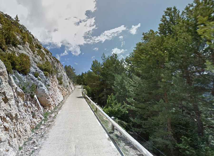
The road to the summit is very challenging, featuring paved sections at the beginning and unpaved sections near the end. The road is quite grippy, has loose gravel in some parts, and features extremely narrow sections (about 3.5 m wide), totally impassable for two medium cars at the same time. A 4x4 vehicle is recommended.
Is Coll de Peguera open?
Set high in the Serra d'Ensija-els Rasos de Peguera national park, the pass is typically open all year round, but short-term closures are common in winter due to dangerous weather conditions.
Is the road through Coll de Peguera worth it?
The road features stunning mountain and forest views and leads to Peguera, a ruined mountain town, and Mina del Griell, an abandoned mine.