Driving the Wild Road to Collada de Bracons in the Catalan Pre-Pyrenees
Collada de Bracons is a mountain pass situated at an elevation of 1,136m (3,727ft) above sea level, located in the comarca of Osona in Catalonia, Spain.
Where is Collada de Bracons?
The pass, also known as the Collada de Bracons, is situated on the boundary between the provinces of Girona and Barcelona, in the central region of Catalonia, in the northeastern part of Spain.
How challenging is Collada de Bracons?
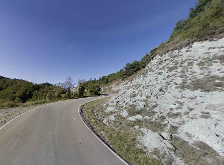
The road to the summit is entirely paved and known as GIV-5273. The road surface is not in good condition. The climb is exceptionally steep, with a maximum gradient of 14% on some ramps. The drive involves navigating through numerous turns.
Why was the Tunel de Bracons built under the mountain pass?
Due to the steep and winding nature of the old mountain road, regional traffic now bypasses the pass via the Tunel de Bracons. This tunnel is 4.95 kilometers (3.07 miles) long, making it the fourth-longest tunnel in Spain. Inaugurated in 2009 after four years of construction, it operates as a completely toll-free underground highway shortcut beneath the Serra dels Llancers.
How long is Collada de Bracons?
It’s 14.4 km (8.94 miles) long, running from west to east, connecting Sant Andreu de la Vola to Sant Esteve d'en Bas.
Is Collada de Bracons open in winters?
Set high in the Serra dels Llancers mountain range of the Catalan Pre-Pyrenees, the pass is typically open year-round, but short-term closures are common in winter due to hazardous weather conditions.