Driving the wild Pista la Caña to the top of Punta Estaton in the Pyrenees
Punta Estatón is a high mountain peak at an elevation of 2,108m (6,916ft) above sea level, located in the Huesca province of Aragón, in Spain.
Where is Punta Estaton?
The peak, also known as Pico de Enmedio, is located in the northern part of the country, near the French border, in the Pyrenees mountain range, within the Ordesa y Monte Perdido National Park.
Is the road to Punta Estaton demanding?
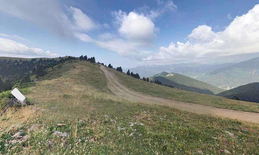
The road to the summit is both challenging and scenic, offering spectacular views of Ordesa and Monte Perdido. It's named Pista la Caña. The road is completely unpaved, with narrow sections, potholes, and very steep areas. The last kilometer is the most demanding, with an average gradient of 16%. Attempting it in anything other than a high-clearance, preferably 4-wheel drive vehicle, is a recipe for disaster.
How long is the road to Punta Estaton?
Starting from Buesa, a tiny town in the northwest of the Sobrarbe region, the road to the summit is 11.1 km (6.89 miles) long. There is an 8 euro entrance fee. At the summit, a minor gravel road leads to the challenging Pista de las Cutas.
Is the road to Punta Estaton open?
Situated high in the Ordesa Valley, the road is usually impassable in winter due to snow.
Road suggested by: jorge manuel gómez sánchez
Pic: Eduardo Andres