An Unforgettable Drive to Monte Farelo in Galicia
Monte Farelo is a high mountain pass at an elevation of 948m (3,110ft) above the sea level, located on the boundary of Lugo and Pontevedra provinces, in Galicia, Spain.
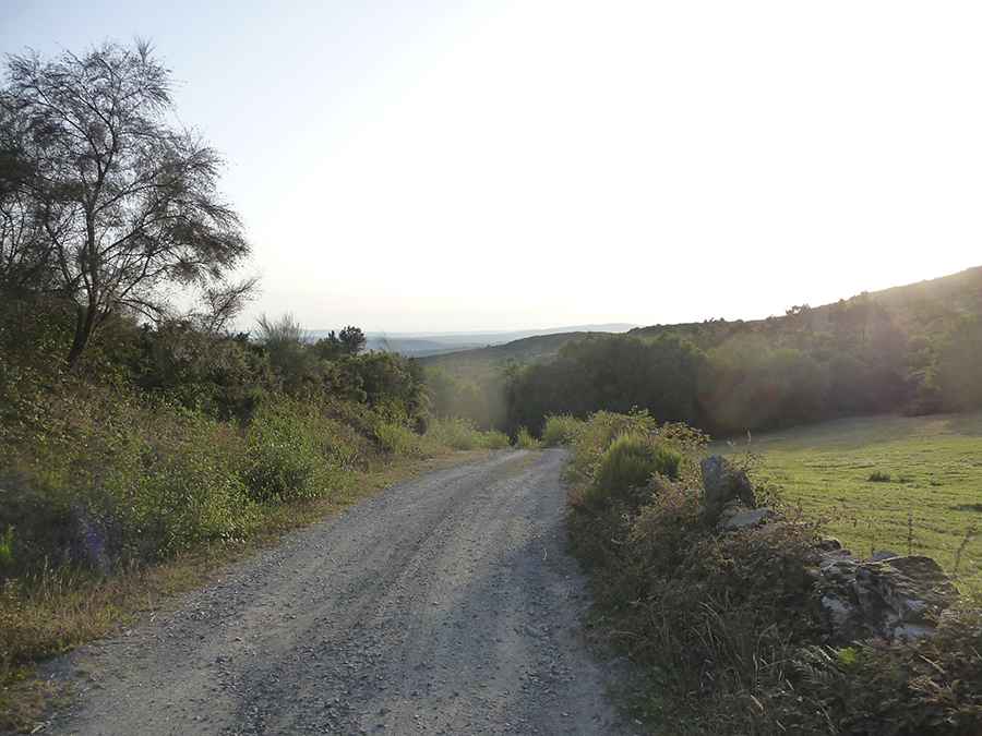
Is the road to Monte Farelo paved?
Located in the northwestern part of the country, the road to the summit, also known as O Farelo, is mostly unpaved. The drive offers stunning views and provides broad views across the terrain of the four Galician provinces. The summit hosts a wind farm. The unpaved part of the road are the service roads for the wind power plants, but not closed to public traffic.
How long is the road to Monte Farelo in Galicia?
The road to the summit is 10.9 km km (6.77 miles) long, running from Antas de Ulla (in the province of Lugo) to Ventosa (in the province of Pontevedra).
Is the road to Monte Farelo in Galicia open?
Set high in the Serra do Faro mountain range, the road to the summit is usually open year round, but due to its location, it gets a lot of rainfall as well as heavy snow in some years.
Road suggested by: Markus Janssen
Pic: Markus Janssen