How to drive the curvy road to Coll d'Alforja in Tarragona?
Coll d'Alforja is a mountain pass at an elevation of 641m (2,103ft) above sea level, located in the province of Tarragona, in Spain.
Where is Coll d'Alforja?
The pass is located on the boundary between Baix Camp and Priorat comarcas, in the autonomous community of Catalonia, in the north-eastern part of the country.
Is the road to Coll d'Alforja paved?
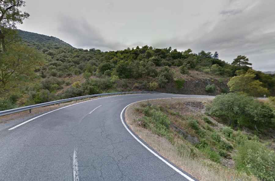
The road to the summit is totally paved. It’s called C-242. With more than 100 turns, if you’re prone to car sickness, this drive is not for you. The road is steep in parts, hitting a 6-7% of maximum gradient through some of the ramps.
How long is the road to Coll d'Alforja?
The pass is 21km (13.04 miles) long running south-north from Les Borges del Camp to Cornudella de Montsant.
Is the road to Coll d'Alforja open in winters?
Set high between the Montsant range and the Prades Mountains, the road is open year-round. Winter closures due to snow are not common.