Things to Know Before Driving to Refugio de Las Hoyas in Almeria
Refugio de Las Hoyas is a high mountain hut at an elevation of 1,981m (6,499ft) above sea level, located in the Almería province of Andalusia, Spain. It sits in the heart of the Sierra de Los Filabres, a mountain range known for its rugged and arid landscapes. This area is famous for its clear skies, which is why the Calar Alto Observatory is located nearby.
Is the road to Refugio de Las Hoyas unpaved?
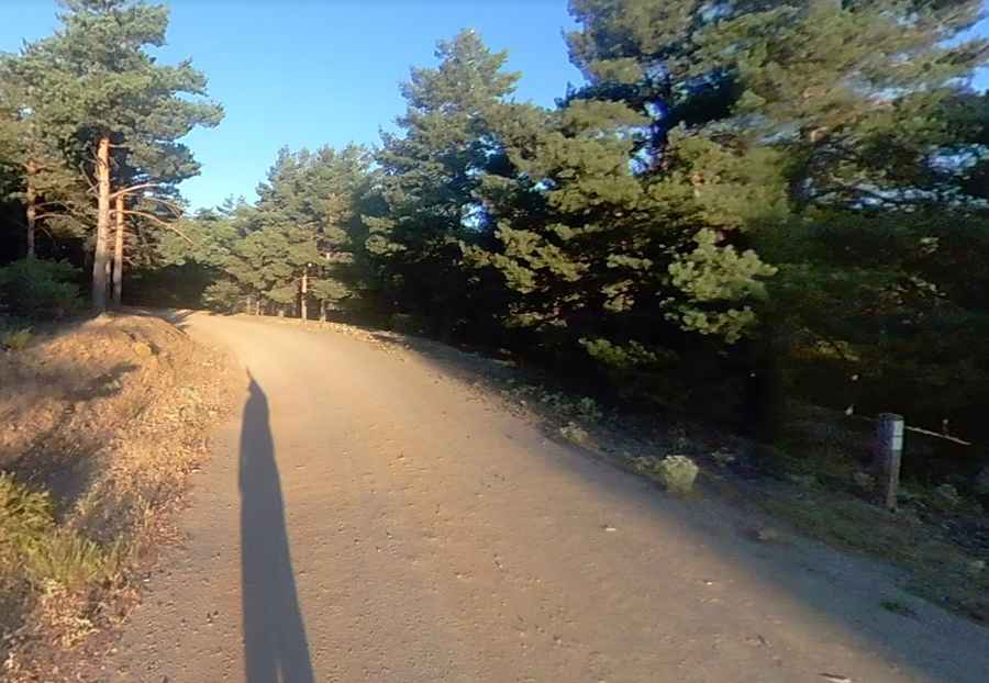
Yes, the road to the refuge is entirely unpaved. It is known as the Pista Calar Alto. While the track is generally wide, the surface consists of loose dirt and stones, so a 4x4 vehicle is highly recommended to handle the climb safely. Driving this road offers a real mountain experience, far from the paved highways of the coast, with wide views of the desert-like terrain of Almería.
How long is the road through Refugio de Las Hoyas?
The road is 11.5 km (7.14 miles) long, running in an east-west direction. It connects two well-known points for drivers in the region: Alto Velefique and Collado Venta Luisa. The route is a steady climb through the high ridges of the Filabres, and although it is not a very long drive, the unpaved surface means you should take your time and enjoy the scenery.
Is the road to Refugio de Las Hoyas open all year?
In general, the road is open all year round. However, you should be careful with the weather. In winter, even in Almería, you can find snow at almost 2,000 meters, which can make the dirt track very slippery. In the summer, the main challenge is the heat; the area can be extremely hot and dry, so it is important to bring plenty of water and make sure your vehicle's cooling system is in good shape before starting the ascent.
Pic: Diego Fernández Sánchez