How to drive the steep road to the summit of Montagut?
El Montagut is a mountain peak at an elevation of 948m (3,110ft) above sea level, located in Tarragona, Spain. The ascent is a mix of degraded asphalt and a final gravel spur.
| Road facts: El Montagut | |
|---|---|
| Location | Querol, Alt Camp (Catalonia) |
| Elevation | 948 m (3,110 ft) |
| Max Gradient | 13% |
| Vehicle Requirement | 4x4 recommended for the final sector |
Where is Montagut?
The peak is located in the autonomous community of Catalonia, in the northeastern part of the country.
How long is the road to Montagut?
The drive starting from Querol spans 5.4 km (3.35 miles) with a total elevation gain of 405 meters.
Is the road to Montagut unpaved?
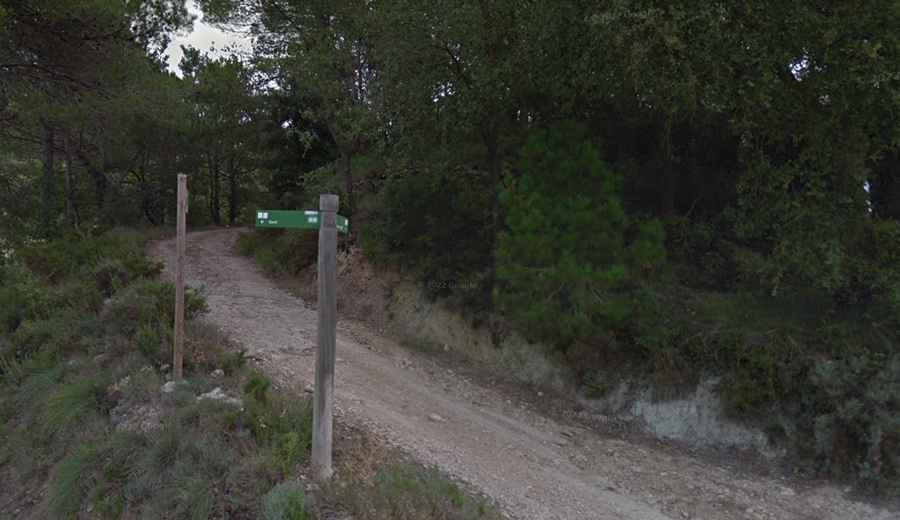
The first 4.4 km are paved, but the asphalt is aged and narrow, with significant cracking. The real challenge begins in the final kilometer. The road turns into an unpaved track where the gradient hits 13%. In this sector, a 4x4 vehicle is required to maintain traction, especially after rain, as the limestone-based soil becomes extremely slippery and prone to washouts.
How challenging is the road to Montagut?
Near the summit, the road passes the Esglesia de Sant Jaume de Montagut. This point features a brutally steep ramp that tests the vehicle's low-end torque. Drivers must commit to a steady gear (1st or 2nd) before hitting the unpaved incline to avoid wheel spin on the loose gravel. The proximity to the lookout tower and the collapsed 10th-century castle ruins means the track is tight, with zero room for heavy vehicle maneuvers or passing.
Is the road to Montagut open?
Set high in the Serra del Montmell range, the road is open year-round. Always check for local forestry restrictions, as the Ancosa-Montagut area is strictly regulated for motorized transit during high fire-risk periods.