Driving to Mina de Riosol: A technical 14% climb in León
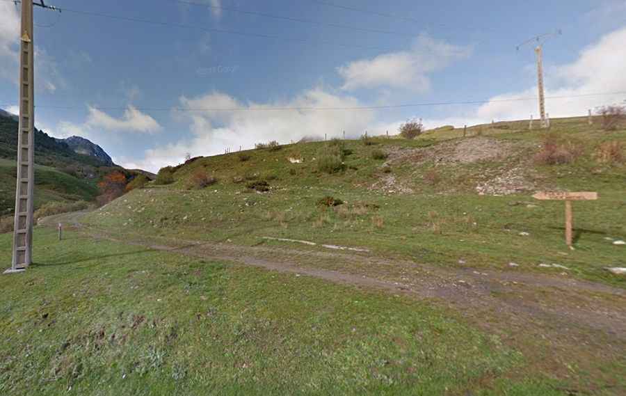
Located in the heart of the Cordillera Cantábrica, in the province of León, the ascent to the abandoned Mina de Riosol is a short but brutal mechanical grind. Reaching an elevation of 1,680m (5,511ft) above sea level in the Cabañas Valley, this unpaved track leads to the ruins of a mercury mine, also known as Mina Carmina, which operated during the 1960s. It is a journey through a rugged, industrial-scarred landscape where the steepness of the terrain and the decaying state of the road surface demand a vehicle with serious off-road credentials.
| Road facts: Mina de Riosol (Mina Carmina) | |
|---|---|
| Location | Maraña, León (Spain) |
| Elevation | 1,680 m (5,511 ft) |
| Length | 2.8 km (from CL-635) |
| Max Gradient | 14% |
| Surface | Unpaved / Loose shale / Rocky |
How punishing is the 14% gradient to Mina de Riosol?
The 2.8 km climb from the paved CL-635 road is a technical test of traction and torque. While the distance is short, the track gains 259 meters of vertical elevation with a persistent average gradient of 9.25%. The real challenge lies in the ramps that hit a maximum gradient of 14%, where the surface is composed of loose shale and rocky debris from the old mining operations. In this part of the Buecicardiel area, your tires will struggle to find grip, especially in the final hairpins before reaching the mine buildings. A high-clearance vehicle is mandatory, as the deep ruts carved by mountain runoff can easily snag the undercarriage if you lose momentum on the steepest sectors.
What are the hazards of the abandoned mercury mine road?
The road to Mina de Riosol is a high-exposure path characterized by its total lack of maintenance since the mine closed in 1969. The primary hazard is the "broken" nature of the track; the soil is often unstable, and a single heavy rainfall in the Cordillera Cantábrica can wash out entire sections of the path. The unprotected drops toward the valley are immediate, and the presence of loose stones makes every steering input critical. Sudden mountain fogs are a major factor in León, turning this short transit into a blind navigation exercise where the shoulders of the road offer no margin for error. Watch out for sharp metallic debris or abandoned industrial remains that can puncture tires near the mine's entrance.
What is the best mechanical strategy for the Riosol descent?
Coming down from 1,680m toward the CL-635 is a test of braking discipline. The 14% slopes, combined with the loose, sliding surface, will cause your vehicle to "sail" if you rely solely on the brake pedal. To maintain control on the shifting shale, you must engage heavy engine braking and pick your line through the most stable parts of the track. Monitor your vehicle's underside for damage from the deep ruts, and stay alert for local livestock or hikers who frequent the Cabañas Valley. In this sector of León, the road is a lesson in vehicle preservation—monitor your traction on the ramps, stay in a low gear, and never underestimate the verticality of an abandoned Cantabrian mine road.