Road trip guide: Conquering Estany de la Gola in the Pyrenees
Estany de la Gola is a glacial lake at an elevation of 1.997m (6,551ft) above sea level, located in the Province of Lleida, in Spain.
Where is Estany de la Gola?
The lake is located in the comarca of the Pallars Sobirà, in the western part of the autonomous community of Catalonia, in the northwestern part of the country. Near the lake is a small mountain cabin, known as Refugi Estany de la Gola.
Is the road to Estany de la Gola unpaved?
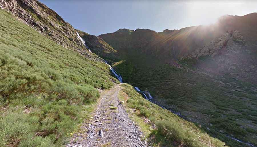
The road to the lake is very narrow and totally unpaved, with loose gravel and very big rocks. It’s called Camí de l'Estany de la Gola. A 4x4 vehicle is required. It was built in the 1960’s for the construction of a dam.
How narrow is the road to Estany de la Gola?
Due to its narrowness, in 2019, a system was implemented that establishes timetables to give alternate passage to vehicles traveling in each direction.
How long is the road to Estany de la Gola?
Running through the scenic Vall d'Àneu, the road to the lake is very steep, hitting a 23% of maximum gradient through some of the ramps. Starting at Esterri d'Àneu, the ascent is 12.4 km (7.70 miles) long. Over this distance the elevation gain is 1.059 meters. The average gradient is 8.54%. The road ends on a parking lot at Planell de Sartari. The last 1.3km are closed to private vehicles.
Is the road to Estany de la Gola open in winters?
Set high in the Pyrenees mountain range, within the Aigüestortes i Estany de Sant Maurici National Park, the road is open year-round, but short-time closures are common in winters.