Road Logistics: Navigating the Camino de Santiago Route Network
The Camino de Santiago is one of the oldest and most complex road networks in Europe. Originally designed for pilgrims on foot, these routes now cross modern highways, rural tracks, and mountain passes. Managing the logistics of a journey here—whether as a walker or a support vehicle driver—requires a deep understanding of the terrain and the specific safety protocols for shared roads. This guide analyzes the infrastructure and the logistical preparation needed to navigate these iconic Spanish and European routes.
| Camino de Santiago: Route Logistics | |
|---|---|
| Most Popular Route | Camino Francés (Sarria to Santiago - 114km) |
| Terrain Types | Asphalt roads, gravel tracks, and mountain climbs |
| Key Hazards | High-speed road crossings and narrow rural shoulders |
| Logistics Support | Van transfers, GPS tracking, and scheduled supply drops |
1. Infrastructure and Route Varieties
The network of Camino routes is vast, stretching across Spain, Portugal, and France. The most common choice for beginners is the section from Sarria, which covers 114km in 7 days. This route is well-marked but involves a mix of surfaces. For those seeking more technical challenges, routes like the West Highland Way in Scotland or the mountainous sections of the Camino Primitivo offer steeper gradients and more difficult weather conditions. Planning your route means understanding which parts are on dedicated paths and which sections share the asphalt with motor vehicles.
2. Safety Protocols on Shared Roads
Coexisting with vehicle traffic is a major factor in Camino logistics. Many sections of the route run parallel to busy regional roads or involve crossing high-speed highways. It is vital to stay visible, especially during early morning starts or in foggy conditions. Drivers in these areas must also be alert for large groups of pedestrians. Using high-visibility gear and following local road signs is the best way to prevent incidents. On narrow rural roads, always move against the flow of traffic to maintain eye contact with oncoming vehicles.
3. Terrain Challenges and Difficulty Levels
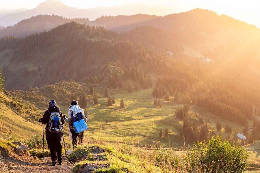
Routes vary from flat, manageable paths to strenuous mountain trekking. Introductory routes typically involve 4-5 hours of walking per day on fairly level ground. However, mountainous routes require a higher level of fitness and better gear preparation. Weather plays a significant role; winter expeditions face ice and heavy rain, which can turn gravel tracks into hazardous mud. Proper footwear and trekking poles are essential tools for maintaining stability on uneven road surfaces.
4. Equipment and Logistics Preparation
Success on a long-distance road mission depends on your gear. Beyond good boots and weather-appropriate clothing, you need a reliable navigation system. While the shells and yellow arrows are famous markers, having a GPS or a physical map ensures you stay on the correct track if visibility drops. Carrying a 48-hour buffer of high-energy snacks and a reliable water supply is also a core part of the logistics. If you are using a support service, ensure your luggage transfers are coordinated with your daily arrival times at designated hubs.
Conclusion: Mastering the Ancient Roads
The Camino de Santiago is a unique test of endurance and road planning. Whether you choose the well-trodden paths of Spain or the rugged tracks of Scotland, preparation is the key to a safe journey. Respect the road, understand the terrain, and manage your resources wisely. By following professional safety protocols and preparing for the local conditions, you turn a difficult walk into a successful expedition. The road is waiting—make sure you are ready for it.