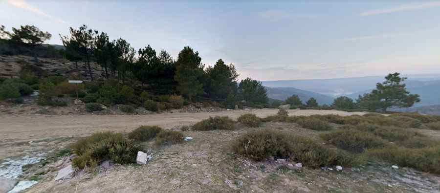
Driving the steep road to Puerto de Casillas in Ávila
Puerto de Casillas is a mountain pass at an elevation of 1,469m (4,819ft) above sea level, located in the Ávila province of central Spain. Situated within the Iruelas Valley in the Sierra de Gredos, the access road is characterized by a drastic transition in surface integrity and extreme vertical gradients.
| Road facts: Puerto de Casillas | |
|---|---|
| Location | Ávila, Castile and León (Spain) |
| Elevation | 1,469 m (4,819 ft) |
| Length from Casillas | 5.6 km (3.47 miles) |
| Max Gradient | 20% |
| Surface | Paved to Unpaved (Rocky) |
Where is Puerto de Casillas?
The pass is located in the central part of Spain, on the ridge dividing the Tiétar Valley and the Iruelas Valley. The 5.6 km ascent follows a track that gains 461 meters in elevation. The route is a zero-protection zone with significant lateral exposure. Drivers must account for high-altitude winds that can affect vehicle stability on the most exposed ridge sections nearing the 1,469m mark.
Is Puerto de Casillas paved?
The road to the summit starts with an asphalted surface from the village of Casillas but technically transitions into a rough gravel and rock-strewn track. The unpaved sector is characterized by loose stones and surface erosion caused by runoff. The track is exceptionally narrow, leaving zero margin for error or passing maneuvers.
Can I drive my vehicle to Puerto de Casillas?
A high-clearance SUV or 4x4 vehicle is required to complete the drive safely. The track's surface integrity requires tires with reinforced sidewalls to manage the sharp rocky outcrops. It is not suitable for standard passenger cars or low-clearance vehicles due to the risk of underbody damage. Maintaining steady momentum and torque is the only strategy to drive the loose sections without losing traction, especially during the descent where the lack of grip complicates braking performance.
How long is the road to Puerto de Casillas?
Starting from the M-549 road junction in Casillas, the ascent is 5.6 km (3.47 miles) long. While the average gradient is 8.23%, the technical difficulty lies in the extreme ramps that hit 20% in specific sectors. These steep portions require a vehicle with low-range gearing or high low-end torque to prevent engine stalling. Logistically, the 5.6 km transit is a slow-speed operation, as the combination of extreme incline and rocky terrain limits safe travel speeds to under 15 km/h in the upper sections.
Pic: Carlos Andrés Pérez