Driving the wild road to Puerto de Piedrafita
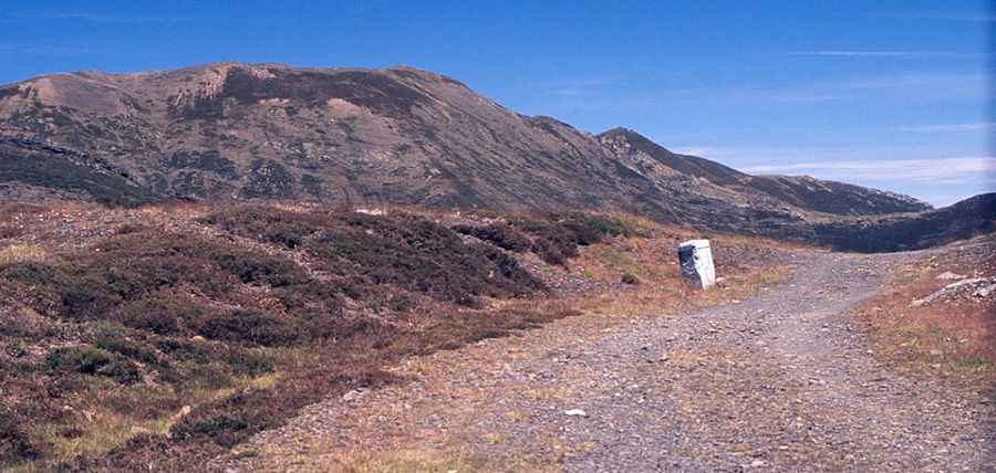
Puerto de Piedrafita is a high mountain pass at an elevation of 1,687m (5,534ft) above sea level, located on the border between the province of León (Castile and León) and Asturias in northwest Spain. This pass is nestled in the heart of the Cordillera Cantábrica mountain range, serving as a historic link for travelers crossing between the southern and northern slopes of the mountains.
| Road facts: Puerto de Piedrafita | |
|---|---|
| Location | León / Asturias, Spain |
| Length | 7.2 km (4.4 miles) |
| Elevation Gain | 405 m |
| Max Gradient | 30% |
| Surface | Unpaved (4x4 recommended) |
| Hazard Level | High (Extreme gradients & snow) |
Is the road to Puerto de Piedrafita unpaved?
Yes, the road to the summit is entirely unpaved. While the route on the southern side (León) is designated as the LE-315, the northern track leading into Asturias remains unnamed. Although the modern track was built in 2016, the road follows the path of an ancient Roman way. Due to the loose surface and technical terrain, a 4x4 vehicle is highly recommended for anyone planning on driving this pass.
How long is the road to Puerto de Piedrafita?
The road runs from the village of Piedrafita in the south to Yananzanes in the north. Starting from Piedrafita, the ascent to the top of the pass is 7.2 km (4.4 miles) long. It is a vital route heavily used by local residents, though it remains subject to closure during the winter months when heavy snow makes the high-altitude track impassable.
What is the maximum gradient of the road to Puerto de Piedrafita?
The climb to Puerto de Piedrafita is notoriously tough. While the average gradient over the 7.2 km stretch is 5.62% (with an elevation gain of 405 meters), the road features extreme ramps that hit a 30% gradient. These sections require significant traction and advanced driving skills, especially given the unpaved nature of the surface.
Road suggested by: jorge manuel gómez sánchez
Pic: Luis Ignacio Alonso Sainz