How to drive the steep road to Cerro Jabalcuz in Jaén?
Cerro Jabalcuz is a high mountain peak at an elevation of 1,610 meters (5,282 ft) above sea level, located in the Province of Jaén, in Spain.
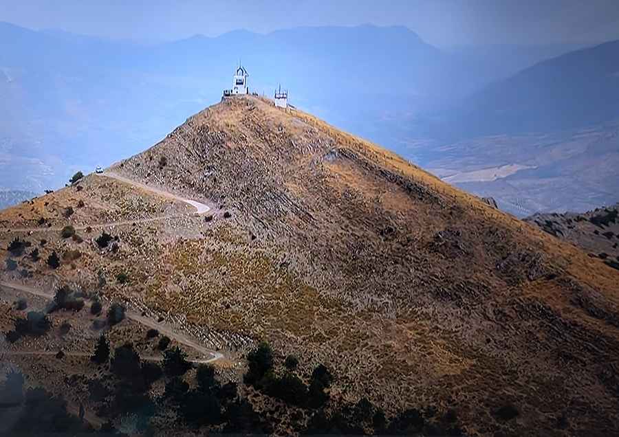
| Road facts: Jabalcuz mountain road | |
|---|---|
| Location | Province of Jaén, Andalusia, Spain |
| Elevation | 1,610 m (5,282 ft) |
| Length | 9.7 km (6.02 miles) from A-6050 |
| Max Gradient | 17% |
| Surface | Broken asphalt, concrete ramps, and unpaved gravel |
Where is Cerro Jabalcuz?
The peak is located in the autonomous community of Andalusia, in the southern part of the country.
Why is there a road to Cerro Jabalcuz?
The summit hosts an abandoned forest lookout hut and a communication tower.
Is the road to Cerro Jabalcuz unpaved?
The road to the summit is totally unpaved with loose gravel, though the steepest pitches are paved with rough concrete to prevent tires from spinning out on these slopes.
How challenging is the road to Cerro Jabalcuz?
The single-lane road runs right along the edge of steep valley drops and comprises very narrow parts, dangerous drops unprotected by guardrails and 7 sharp hairpin turns. A 4x4 vehicle is required.
How long is the road to Cerro Jabalcuz?
The mountain track begins at the intersection with the paved A-6050 highway near Urbanización Jabalcuz. From the junction, the road climbs for 9.7 kilometers to the summit with an average gradient of 9%.
How steep is the road to Cerro Jabalcuz?
Set high in the Montes de Jaén and the Sub-Baetic system, the road hits a 17% of maximum gradient.
Can I drive the road to Cerro Jabalcuz?
The road is blocked by an iron barrier at an elevation of 895 meters. Beyond this point, vehicle access is heavily restricted by local authorities and closed to general public traffic.
Road suggested by: jorge manuel gómez sánchez