Venta del Chaleco: Driving the scenic switchbacks of Sierra Contraviesa
Venta del Chaleco is a mountain pass at an elevation of 1,323 meters (4,340 ft) above sea level, located in the eastern part of the Granada province, in southern Spain. Situated within the Sierra Contraviesa range, the pass is linked by the paved GR-6202 road, which connects the Mediterranean coast side with the inner Alpujarra Granadina region.
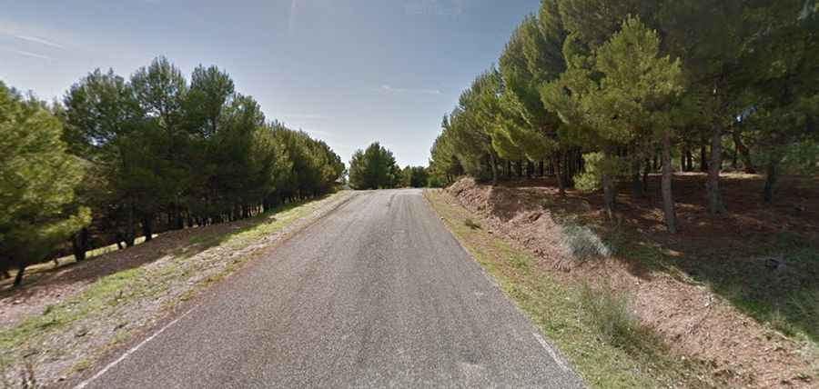
| Road facts: Venta del Chaleco | |
|---|---|
| Location | Granada, Andalusia (Spain) |
| Elevation | 1,323 m (4,340 ft) |
| Road Number | GR-6202 |
| Length | 22.6 km (14 miles) |
| Average Gradient | 4.23% |
| Max Gradient | 11% |
Is the GR-6202 road to Venta del Chaleco fully paved?
The road to the summit is entirely paved but features a restricted lane width and a continuous sequence of blind tight corners. The asphalt surface is generally stable, but the outer margins are crumbly and eroded in multiple sections due to heavy mountain sun exposure and sudden winter washouts. The route lacks lateral concrete barriers on several open hillsides, running past high-altitude vineyards and almond orchards.
How long is the climb to Venta del Chaleco?
Starting from the Embalse de Benínar reservoir, the GR-6202 ascent is 22.6 km (14 miles) long and climbs up to the Sierra Contraviesa ridgeline. The road maintains a constant 4.23% average gradient, but the profile is uneven. Initial ramps climbing out of the reservoir basin spike up to a maximum gradient of 11%, requiring frequent downshifting on the continuous hairpin loops.
What are the main hazards on the Venta del Chaleco road?
The primary challenge is the length of the climb combined with hundreds of successive steering adjustments. During summer, temperatures in this part of Granada exceed 40°C, placing high thermal loads on car cooling systems during low-gear ascents. In winter, the 1,323-meter altitude exposes the high ridge to sudden mountain mist and overnight frost patches that compromise tire grip on the asphalt curves.
Road suggested by: jorge manuel gómez sánchez