How to drive the unpaved road to Campo de Las Danzas?
Campo de Las Danzas is a mountain pass at an elevation of 1.448m (4,750ft) above sea level, located in the Province of León, in Spain.
Where is Campo de Las Danzas?
The pass is located on the boundary of El Bierzo and La Cabrera comarcas, in the autonomous community of Castile and León, in the northwestern part of the country. Built in 1914, the road intended to link Ponferrada (León) with Puebla de Sanabria (Zamora), but the project remains unfinished.
Is the road to Campo de Las Danzas paved?
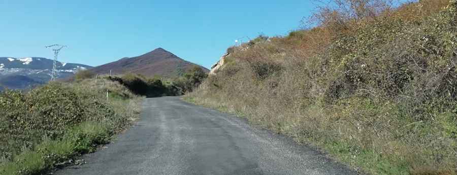
The road to the summit is called LE-158/4. It’s a winding and narrow road, with 7 hairpin turns, and dangerous drops. The road was totally paved on 2018. Before, the asphalt was missing on the last kilometer to the summit. It’s prone to rockslides and landslides.
How long is the road to Campo de Las Danzas?
Starting from San Esteban de Valdueza, the ascent is 14,15 km long. Over this distance the average gradient is 6%, hitting a 12% through some of the ramps. The summit is the starting point to reach Monte Aquiana.
Is the road to Campo de Las Danzas open?
Set high in the Montes Aquilianos, part of the Galician-Leonese Massif, the road is open year-round, but short-time closures are common in winters.
Road suggested by: jorge manuel gómez sánchez
Pic: Ramon Gonzalez Llamazares