The road to Cerrajón de Murtas in Granada is a hidden gem
Cerrajón de Murtas is a high mountain peak at an elevation of 1.509m (4,950ft) above sea level, located in the province of Granada, in Spain.
Where is Cerrajón de Murtas?
The peak is located in the eastern part of the autonomous community of Andalusia, in the southern part of the country.
Why is there a road to the summit of Cerrajón de Murtas?
The summit hosts a viewpoint with a commemorative plaque, called Mirador del Cerrajón, a geodesic vertex and a fire guardhouse. At the summit, the views are stunning. It’s possible to admire Sierra Nevada, Sierra Gádor, the sea (on clear days the African mountains), Sierra de Lújar and most of the towns of the Alpujarra region.
Is the road to Cerrajón de Murtas paved?
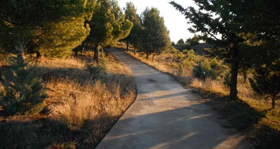
The road to the summit is mostly paved with concrete. The final part is very demanding: steep and unpaved, a 4x4 vehicle is recommended. The drive offers scenic views including the Sierra Nevada and Mediterranean coast.
How long is the road to Cerrajón de Murtas?
Starting from the paved GR-5202, in the municipality of Murtas, the ascent is 4,7 km long. Over this distance, the average gradient is 6,7%, hitting a 14.4% of maximum gradient through some of the ramps.
Is the road to Cerrajón de Murtas open year-round?
Situated in the south-eastern part of the Alpujarra, it’s the highest mountain in the Sierra de Contraviesa, on the south slopes of the Sierra Nevada. It’s usually open year-round.
Road suggested by: jorge manuel gómez sánchez
Pic&video: LIBRADA