Puerto de la Mata, an epic road in Andalusia
Puerto de la Mata is a high mountain pass at an elevation of 1.670m (5,479ft) above the sea level, located in Almería province, in the autonomous community of Andalusia, in southern Spain. The road to the summit is steep, hitting an 18%.
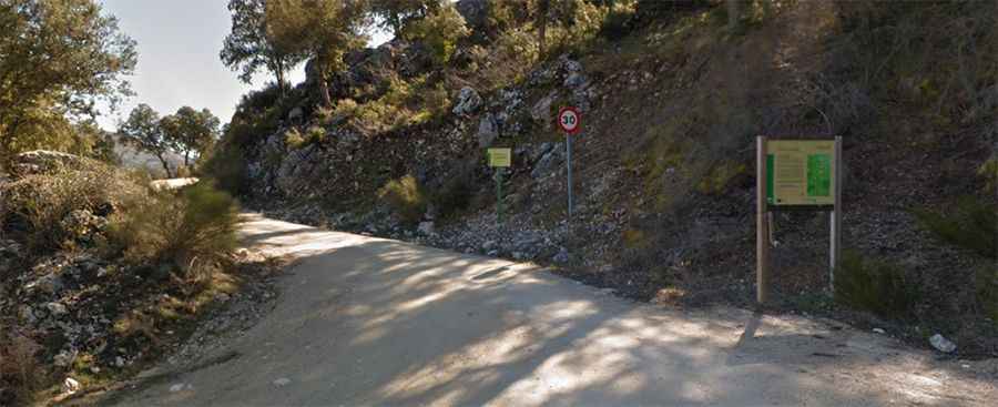
Nestled in the Sierra Mágina Natural Park, the road to the summit, also known as Puerto Torres, is unpaved. It is part of the GR-7. Open to traffic throughout the year, may be closed for short periods in winter when the weather is bad. The pass is 20,1 km (12.48 miles) long, running north-south from JA-3107 road (at Torres) towards A-324 road (at Mata Bejid). The drive offers stunning views of the nearby Pico Almaden. The road can be closed in summer season due to high risk of fire.
The route is a permanent climb, not very steep, but long. Starting from Cambil, the ascent is 15.1 km long. Over this distance the average gradient is 5.7%, hitting a 11.8% through some of the ramps. And starting from Torres, the ascent is 12.3 km long. Over this distance the average gradient is 6.7%, hitting an 18% through some of the ramps.
Road suggested by: jorge manuel gómez sánchez