Paso del Reventón: Driving the 14km Dirt Track in the Sierra de Guadarrama
At an elevation of 2,041m (6,696ft) above sea level, Paso del Reventón is a high mountain pass situated on the boundary between the Segovia province and the Community of Madrid, in central Spain. Located in the Sierra de Guadarrama, this unpaved route is one of the highest crossings in the Sistema Central range.
| Road facts: Paso del Reventón | |
|---|---|
| Location | Segovia / Madrid, Spain |
| Elevation | 2,041 m (6,696 ft) |
| Length | 14.2 km (8.8 miles) |
| Avg Gradient | 5.61% |
| Surface | Unpaved / Gravel and Dirt |
How is the ascent to Paso del Reventón?
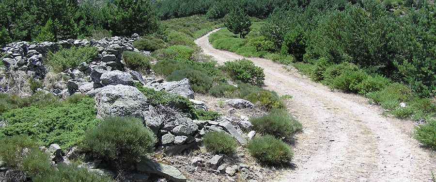
The drive starts from the M-604 road, near the Puerto de Cotos area. The ascent covers 14.2 km (8.8 miles) and climbs 797 meters in total. The average gradient is 5.61%, but the difficulty lies in the surface. The road is entirely unpaved, featuring a mix of loose gravel and packed dirt that can become very soft after snowmelt. The route includes 16 hairpin turns that are tight and often have deep ruts, requiring a vehicle with high ground clearance.
Can you drive to Paso del Reventón in winter?
While the pass is not officially gated, it is frequently impassable during winter. Snow accumulation at 2,041 meters in the Guadarrama range is significant, often blocking the track from December until late March. Even in late spring, mud from melting snow can make the 14 km stretch dangerous for vehicles without 4WD. Always check the weather for Rascafría or La Granja before attempting the climb, as storms move in fast from the north.
What are the main hazards on this Guadarrama track?
The primary hazards are the steep drops and loose surface. There are no safety barriers along the 16 hairpins, and the road is narrow, making it difficult to pass oncoming traffic or hikers. The "Reventón" name traditionally refers to the steepness and the physical effort required to cross it; for modern vehicles, the risk is brake overheating on the long descent back to the M-604 and sidewall damage from sharp granite rocks. A 4x4 vehicle is strongly recommended for traction on the steeper ramps.
Logistics and Supplies
There are no services or fuel stations on the pass. Ensure your tank is full before leaving the M-604 or the nearby towns. Mobile coverage is spotty in the deep valleys of the Guadarrama range. It is essential to carry a full-size spare tire and basic recovery gear, as the unpaved surface is not regularly maintained and can change significantly after a single heavy rainstorm.
Pic: Alucheros Del Pedal