How to drive the paved road to Puerto de San Lorenzo?
Puerto de San Lorenzo is a mountain pass at an elevation of 1.348m (4,422ft) above sea level, located in the province and autonomous community of Asturias, in Spain. Long and steep (with some parts up to 18%) brutal describes the climb but it is worth it as the scenery is spectacular.
Where is Puerto de San Lorenzo?
Set high on the northern part of the country, at the summit there is a parking lot and a viewpoint. At the summit, a minor unpaved road climbs up to Pico Mirandiella, a high mountain peak at an elevation of 1,570m (5,150ft) above sea level.
Is the road to Puerto de San Lorenzo paved?
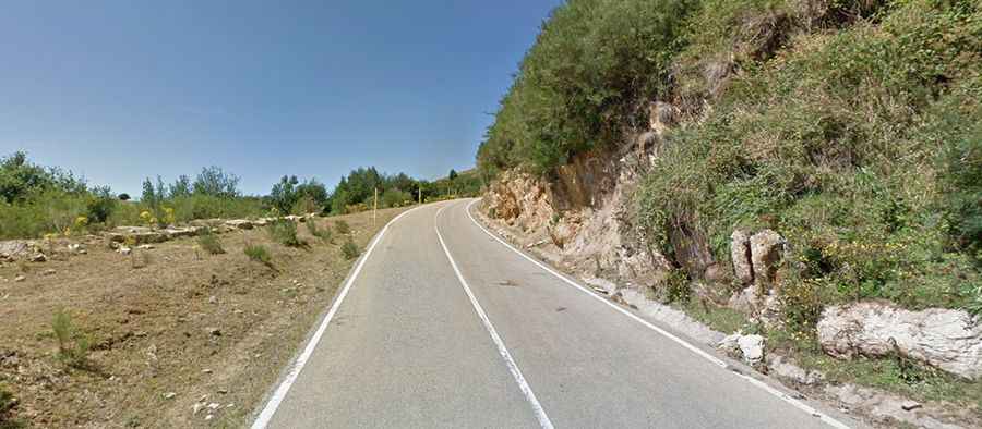
The road through the pass is fully paved. It’s called AS-265. It is not especially long, but is steep, with many sections where the gradient is above 10%.
How long is the road to Puerto de San Lorenzo?
The road is 19km long running west-east from La Riera de Somiedo to San Martín de Teverga.
How steep is the road to Puerto de San Lorenzo?
The climb has been featured in the Spanish Vuelta race. Starting from La Riera de Somiedo, the ascent is 10.4 km long. Over this distance, the elevation gain is 871 meters. The average percentage is 8.4 %. And starting from San Martín, the ascent is 10.6 km long. Over this distance, the elevation gain is 867 meters. The average percentage is 8.2 %.