How to drive the unpaved road to Peña Caballera in Granada
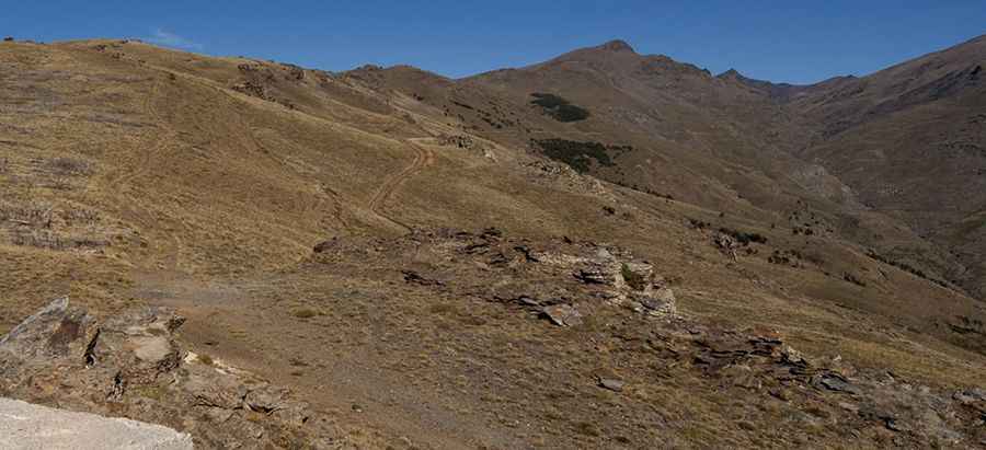
Peña Caballera is a high mountain pass at an elevation of 2.187m (7,175ft) above the sea level, located in the province of Granada, in Spain.
Where is Peña Caballera?
The pass is located in the autonomous community of Andalusia, in the southern part of the country, within the Sierra Nevada National Park.
Is the road to Peña Caballera unpaved?
The road to the summit is totally unpaved, with narrow parts, dangerous drops and 17 hairpin turns. A 4x4 vehicle is required. It’s a very steep road, hitting a 15% of maximum gradient through some of the ramps.
How long is the road to Peña Caballera?
Starting from Nigüelas, the road to the summit is 9.4 km long. Over this distance, the elevation gain is 939 m and the average gradient is 9.98%. Along the way you can enjoy magnificent views to the snowy peaks of Mulhacén and Veleta.
How to drive the road to the abandoned Refugio Ventura?
North of the pass, the road leads to Ventura Refuge, an abandoned mountain refuge at an elevation of 2.105m (6,906ft) above sea level, and a weather forecast service known as Estación Meteorológica Lanjaron OBSNEV.
How to drive the road to Loma del Caballo?
The road ends at Loma del Caballo, a high mountain peak at an elevation of 2.480m (8,136ft) above sea level. It’s one of the highest roads in the country.
Pic: eXplorando Granada